
052A08 Shaganash Island Canada topo map, 1:50,000 scale
052A08 Shaganash Island NRCAN topographic map.
Includes UTM and GPS geographic coordinates (latitude and longitude). This 50k scale map is suitable for hiking, camping, and exploring, or you could frame it as a wall map.
Printed on-demand using high resolution, on heavy weight and acid free paper, or as an upgrade on a variety of synthetic materials.
Topos available on paper, Waterproof, Poly, or Tyvek. Usually shipping rolled, unless combined with other folded maps in one order.
- Product Number: NRCAN-052A08
- Parent Topo: TOPO-052A
- Map ID also known as: 052A08, 52A8, 52A08
- Unfolded Size: Approximately 26" high by 36" wide
- Weight (paper map): ca. 55 grams
- Map Type: POD NRCAN Topographic Map
- Map Scale: 1:50,000
- Geographical region: Ontario, Canada
Neighboring Maps:
All neighboring Canadian topo maps are available for sale online at 1:50,000 scale.
Purchase the smaller scale map covering this area: Topo-052A
Spatial coverage:
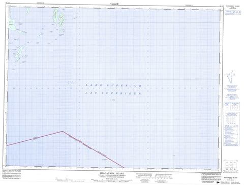
Topo map sheet 052A08 Shaganash Island covers the following places:
- Black Bay Peninsula - Bruneau Point - Barclay Islands - Bennett Island - Cargill Island - Cartwright Island - Coates Island - Emmerson Island - Gladys Island - Gunn Island - Hughes Island - Macoun Island - Nest Island - No. 10 Island - Number 10 Island - Perley Island - Shaganash Island - St. Andrew Island - Stanton Island - Swede Island - Sweetland Island - Tyrwhitt Island - Lac Supérieur - Lake Superior - Ayre Shoal - Bateau Rock - Blair Rock - Boardman Rock - Burpee Rock - Elson Rock - Evelyn Rocks - Grenfell Rock - Harty Rock - Irwin Rock - Kemp Shoal - Magee Rock - Paterson Rocks - Poynter Rock - Schaffner Rock


