
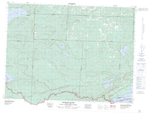
052A04 Pigeon River Canada topo map, 1:50,000 scale
052A04 Pigeon River NRCAN topographic map.
Includes UTM and GPS geographic coordinates (latitude and longitude). This 50k scale map is suitable for hiking, camping, and exploring, or you could frame it as a wall map.
Printed on-demand using high resolution, on heavy weight and acid free paper, or as an upgrade on a variety of synthetic materials.
Topos available on paper, Waterproof, Poly, or Tyvek. Usually shipping rolled, unless combined with other folded maps in one order.
- Product Number: NRCAN-052A04
- Parent Topo: TOPO-052A
- Map ID also known as: 052A04, 52A4, 52A04
- Unfolded Size: Approximately 26" high by 36" wide
- Weight (paper map): ca. 55 grams
- Map Type: POD NRCAN Topographic Map
- Map Scale: 1:50,000
- Geographical region: Ontario, Canada
Neighboring Maps:
All neighboring Canadian topo maps are available for sale online at 1:50,000 scale.
Purchase the smaller scale map covering this area: Topo-052A
Spatial coverage:
Topo map sheet 052A04 Pigeon River covers the following places:
- Little Pigeon Bay - Pigeon Bay - Pine Bay - Finger Point - Horne Falls - Little Falls - Partridge Falls - Pigeon Falls - The Cascades - The Tunnel - Blake - Devon - Fraleigh - Gillies - Hartington - Lismore - Lybster - Neebing - Pardee - Pearson - Scoble - Strange - Bonnet Island - Boundary Islands - Marin Island - Naomi Island - Owen Island - Bearpad Lake - Bell Lake - Cloud Lake - Crystal Lake - Fallingsnow Lake - Fraleigh Lake - Lac Supérieur - Lake Superior - Lenore Lake - Matson Lake - North Fowl Lake - Pine Lake - South Fowl Lake - Sunset Lake - Whitefish Lake - Silver Bluff - Silver Mountain - The Palisades - Gillies - Devon Road Mesa Provincial Nature Reserve - Divide Ridge Provincial Nature Reserve - Fallingsnow Lake Conservation Reserve - Fraleigh Lake Provincial Nature Reserve - La Verendrye Provincial Park - LaVerendrye Provincial Park - Pigeon River Provincial Park - Arrow River - Cloud River - Crystal Creek - Little Pine River - Little Whitefish River - Pigeon River - Pine River - Slate River - Sunset Creek - English Portage - Fowl Portage - Acadia Rock - Laura Grace Rock - Neebing - Crooks - Jackpine - Pardee - Pigeon River - Scoble West - South Gillies - Suomi - Wamsley


