
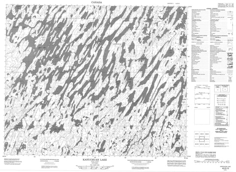
043D13 Kanuchuan Lake Canada topo map, 1:50,000 scale
043D13 Kanuchuan Lake NRCAN topographic map.
Includes UTM and GPS geographic coordinates (latitude and longitude). This 50k scale map is suitable for hiking, camping, and exploring, or you could frame it as a wall map.
Printed on-demand using high resolution, on heavy weight and acid free paper, or as an upgrade on a variety of synthetic materials.
Topos available on paper, Waterproof, Poly, or Tyvek. Usually shipping rolled, unless combined with other folded maps in one order.
- Product Number: NRCAN-043D13
- Parent Topo: TOPO-043D
- Map ID also known as: 043D13, 43D13
- Unfolded Size: Approximately 26" high by 36" wide
- Weight (paper map): ca. 55 grams
- Map Type: POD NRCAN Topographic Map
- Map Scale: 1:50,000
- Geographical region: Ontario, Canada
Neighboring Maps:
All neighboring Canadian topo maps are available for sale online at 1:50,000 scale.
Purchase the smaller scale map covering this area: Topo-043D
Spatial coverage:
Topo map sheet 043D13 Kanuchuan Lake covers the following places:
- Blackler Bay - Starrup Peninsula - Brett Island - Cotter Island - Ferron Island - Howson Island - Ivey Island - Starrup Island - Tuttle Island - Blackler Lake - Booty Lake - Chipai Lake - Edhouse Lake - Falan Lake - Harfitt Lake - Hodge Lake - Kanuchuan Lake - Pikula Lake - Richer Lake - Ring Lake - Scharf Lake - Steed Lake - Utman Lake - Wapikopa Lake - Wharton Lake - Winisk Lake - Winisk River Provincial Park - Kanuchuan Rapids - Chipai River - Fishbasket River - Wapitotem River


