
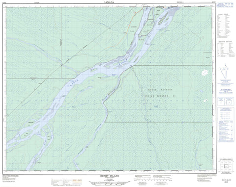
042P02 Bushy Island Canada topo map, 1:50,000 scale
042P02 Bushy Island NRCAN topographic map.
Includes UTM and GPS geographic coordinates (latitude and longitude). This 50k scale map is suitable for hiking, camping, and exploring, or you could frame it as a wall map.
Printed on-demand using high resolution, on heavy weight and acid free paper, or as an upgrade on a variety of synthetic materials.
Topos available on paper, Waterproof, Poly, or Tyvek. Usually shipping rolled, unless combined with other folded maps in one order.
- Product Number: NRCAN-042P02
- Parent Topo: TOPO-042P
- Map ID also known as: 042P02, 42P2, 42P02
- Unfolded Size: Approximately 26" high by 36" wide
- Weight (paper map): ca. 55 grams
- Map Type: POD NRCAN Topographic Map
- Map Scale: 1:50,000
- Geographical region: Ontario, Canada
Neighboring Maps:
All neighboring Canadian topo maps are available for sale online at 1:50,000 scale.
Purchase the smaller scale map covering this area: Topo-042P
Spatial coverage:
Topo map sheet 042P02 Bushy Island covers the following places:
- Little Pitawanigau Bay - Makishibayau Bay - Mikochigash Cove - Neskochiyashi Bay - Nipiminanak Bay - Pakitahogan Bay - Piskopagau Bay - Pitawanigau Bay - Waterlily Bay - Minahik Point - Bull's Gutway - Namewpakitahogan Channel - Wikikanishi Gutway - South Bluff - Horden - Parr - Winnington - Moose Factory 68 - Moose Factory Indian Reserve 68 - Réserve indienne Moose Factory 68 - Allan Island - Ara Island - Arrow Island - Baby Island - Barkers Island - Bishop Clarke Islands - Bushy Island - Factory Island - Hancock Island - Hayes Island - Haysey Island - Kaskagonagau Island - Kwetabohigan Island - Maidmans Island - Makachonau Island - Minahik Island - Moose Factory Island - Negobau Islands - Nipiminanak Island - Pakitahogan Island - Poplar Island - Sawpit Island - South Bluff Island - Twin Islands - Wikikanishi Island - Negobau Lake - Askaskwayau Ridge - Makeshiw Hill - Tidewater Provincial Park - Allan Rapids - Kagawask Rapids - Kwetabohigan Rapids - Makachonau Rapids - Walastogamik Rapids - Abitibi River - Cheepash River - Chimahagan River - Doctor Creek - Hancock Creek - Kagawask Creek - Kwataboahegan River - Kwetabohigan River - Maidman Creek - Maidmans Creek - Menaskweyau Creek - Moose River - North French River - Partridge River - Pitabeg Creek - Rivière Abitibi - South Bluff Creek - Southbluff Creek - Walastogamik Creek - Moosonee - Galeton - Moose Factory


