
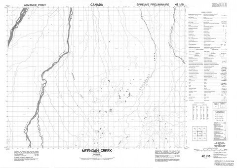
042I15 Meengan Creek Canada topo map, 1:50,000 scale
042I15 Meengan Creek NRCAN topographic map.
Includes UTM and GPS geographic coordinates (latitude and longitude). This 50k scale map is suitable for hiking, camping, and exploring, or you could frame it as a wall map.
Printed on-demand using high resolution, on heavy weight and acid free paper, or as an upgrade on a variety of synthetic materials.
Topos available on paper, Waterproof, Poly, or Tyvek. Usually shipping rolled, unless combined with other folded maps in one order.
- Product Number: NRCAN-042I15
- Parent Topo: TOPO-042I
- Map ID also known as: 042I15, 42I15
- Unfolded Size: Approximately 26" high by 36" wide
- Weight (paper map): ca. 55 grams
- Map Type: POD NRCAN Topographic Map
- Map Scale: 1:50,000
- Geographical region: Ontario, Canada
Neighboring Maps:
All neighboring Canadian topo maps are available for sale online at 1:50,000 scale.
Purchase the smaller scale map covering this area: Topo-042I
Spatial coverage:
Topo map sheet 042I15 Meengan Creek covers the following places:
- Metapeskegau Island - Moose Island - Natogami Islands - Ospwagan Island - Palapataukau Islands - Pitabeg Island - Unburnt Island - Wisapiskoteo Islands - Mishi Rapids - Pakwau Rapids - Abitibi River - Kagawask Creek - Kiasko River - Little Metapeskegau Creek - Meengan Creek - Menigan Creek - Metapeskegau Creek - Natogami River - Nettogami River - North French River - Partridge River - Rivière Abitibi - South Bluff Creek - Southbluff Creek - Menigan Muskeg


