
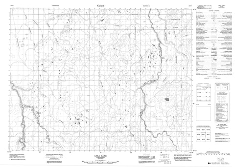
042I06 Lyla Lake Canada topo map, 1:50,000 scale
042I06 Lyla Lake NRCAN topographic map.
Includes UTM and GPS geographic coordinates (latitude and longitude). This 50k scale map is suitable for hiking, camping, and exploring, or you could frame it as a wall map.
Printed on-demand using high resolution, on heavy weight and acid free paper, or as an upgrade on a variety of synthetic materials.
Topos available on paper, Waterproof, Poly, or Tyvek. Usually shipping rolled, unless combined with other folded maps in one order.
- Product Number: NRCAN-042I06
- Parent Topo: TOPO-042I
- Map ID also known as: 042I06, 42I6, 42I06
- Unfolded Size: Approximately 26" high by 36" wide
- Weight (paper map): ca. 55 grams
- Map Type: POD NRCAN Topographic Map
- Map Scale: 1:50,000
- Geographical region: Ontario, Canada
Neighboring Maps:
All neighboring Canadian topo maps are available for sale online at 1:50,000 scale.
Purchase the smaller scale map covering this area: Topo-042I
Spatial coverage:
Topo map sheet 042I06 Lyla Lake covers the following places:
- Ispau Falls - Wipapiskau Falls - Carss - DePencier - Heath - Hobson - Lewers - Morrow - Ophir - Valentine - Argo Lake - Cecil Lake - Lyla Lake - Yapewatik Ridge - Bad River - Big Cedar Creek - Bigcedar Creek - Carss Creek - Ganong Creek - Heath Creek - Ispatinau Creek - Kiwetin Creek - Little Abitibi River - Little Cedar Creek - Little Maskotogan Creek - Littlecedar Creek - Maskotogan Creek - Misakiwisti Creek - Nogachiwanau Creek - North French River - Sagahigan Creek - Stringer Creek - Yapewatik Creek


