
042H14 Takwata Lake Canada topo map, 1:50,000 scale
042H14 Takwata Lake NRCAN topographic map.
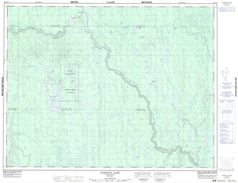
Includes UTM and GPS geographic coordinates (latitude and longitude). This 50k scale map is suitable for hiking, camping, and exploring, or you could frame it as a wall map.
Printed on-demand using high resolution, on heavy weight and acid free paper, or as an upgrade on a variety of synthetic materials.
Topos available on paper, Waterproof, Poly, or Tyvek. Usually shipping rolled, unless combined with other folded maps in one order.
- Product Number: NRCAN-042H14
- Parent Topo: TOPO-042H
- Map ID also known as: 042H14, 42H14
- Unfolded Size: Approximately 26" high by 36" wide
- Weight (paper map): ca. 55 grams
- Map Type: POD NRCAN Topographic Map
- Map Scale: 1:50,000
- Geographical region: Ontario, Canada
Neighboring Maps:
All neighboring Canadian topo maps are available for sale online at 1:50,000 scale.
Purchase the smaller scale map covering this area: Topo-042H
Spatial coverage:
Topo map sheet 042H14 Takwata Lake covers the following places:
- Avon - Bourassa - Harewood - Kineras - Maund - McAlpine - Mewhinney - Parliament - Pinard - New Post 69 - New Post Indian Reserve 69 - Réserve indienne New Post 69 - Bad Lake - Baxter Lake - Beaucage Lake - Carswell Lake - Coleman Lake - Dora Lake - East Solomon Lake - Emmerson Lake - Haultain Lake - Kennedy Lake - Little Takwata Lake - Martin Lake - Maund Lake - Miller Lake - Morris Lake - St. Dennis Lake - Takwata Lake - Worobec Lake - Little Abitibi Provincial Park - Abitibi River - Agassiz River - Bad River - East Solomon Creek - Gilligan Creek - Little Abitibi River - Maund Creek - McAlpine River - Newpost Creek - North French River - Redsucker River - Rivière Abitibi - Rivière Redsucker - Takwata River - Worobec Creek


