
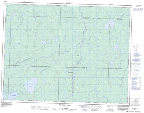
042G14 Shannon Lake Canada topo map, 1:50,000 scale
042G14 Shannon Lake NRCAN topographic map.
Includes UTM and GPS geographic coordinates (latitude and longitude). This 50k scale map is suitable for hiking, camping, and exploring, or you could frame it as a wall map.
Printed on-demand using high resolution, on heavy weight and acid free paper, or as an upgrade on a variety of synthetic materials.
Topos available on paper, Waterproof, Poly, or Tyvek. Usually shipping rolled, unless combined with other folded maps in one order.
- Product Number: NRCAN-042G14
- Parent Topo: TOPO-042G
- Map ID also known as: 042G14, 42G14
- Unfolded Size: Approximately 26" high by 36" wide
- Weight (paper map): ca. 55 grams
- Map Type: POD NRCAN Topographic Map
- Map Scale: 1:50,000
- Geographical region: Ontario, Canada
Neighboring Maps:
All neighboring Canadian topo maps are available for sale online at 1:50,000 scale.
Purchase the smaller scale map covering this area: Topo-042G
Spatial coverage:
Topo map sheet 042G14 Shannon Lake covers the following places:
- Bare Rock Point - Kettle Falls - Casgrain - Fleck - Goldwin - McLeister - Mulvey - Ritchie - Sankey - Scovil - Shannon - Sweet - Alice Island - Isabell Island - Skunk Island - Bell Lake - Black Feather Lake - East Mattawishkwia Lake - Ekip Lake - Goldwin Lake - Little Wanzatika Lake - Mattawishkwia Lake - Mulvey Lake - Renesig Lake - Sankey Lake - Shannon Lake - Sweet Lake - Teal Lake - Wanzatika Lake - Missinaibi Provincial Park - Sankey Township Nature Reserve Wilderness Area - Beam Rapids - Makatiamik Rapids - Black Feather Creek - East Mattawishkwia River - Friday Creek - Goldwin Creek - Mattawishkwia River - Missinaibi River - Mulvey Creek - Parthia Creek - Renesig Creek - Ritchie Creek - Rivière Missinaibi - Sankey Creek - Shannon Creek - Teal Creek - Wanzatika Creek - Kettle Portage


