
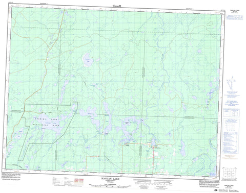
042G13 Hanlan Lake Canada topo map, 1:50,000 scale
042G13 Hanlan Lake NRCAN topographic map.
Includes UTM and GPS geographic coordinates (latitude and longitude). This 50k scale map is suitable for hiking, camping, and exploring, or you could frame it as a wall map.
Printed on-demand using high resolution, on heavy weight and acid free paper, or as an upgrade on a variety of synthetic materials.
Topos available on paper, Waterproof, Poly, or Tyvek. Usually shipping rolled, unless combined with other folded maps in one order.
- Product Number: NRCAN-042G13
- Parent Topo: TOPO-042G
- Map ID also known as: 042G13, 42G13
- Unfolded Size: Approximately 26" high by 36" wide
- Weight (paper map): ca. 55 grams
- Map Type: POD NRCAN Topographic Map
- Map Scale: 1:50,000
- Geographical region: Ontario, Canada
Neighboring Maps:
All neighboring Canadian topo maps are available for sale online at 1:50,000 scale.
Purchase the smaller scale map covering this area: Topo-042G
Spatial coverage:
Topo map sheet 042G13 Hanlan Lake covers the following places:
- Arkinstall Bay - Baie des Veilleux - Bennet Bay - Gosselin's Bay - Lilypad Bay - Veilleux's Bay - West Bay - West's Bay - Indian Point - Stenabough's Point - Table Rock - Hanlan Narrows - Pivabiska Narrows - Piwabiskau Narrows - Bannerman - Casgrain - Fushimi - Hanlan - Ritchie - Stoddart - Fontaine's Island - Pellow's Island - Banks Lake - Bannerman Lake - Casgrain Lake - Cayer Lake - Clear Lake - Ferland's Lake - Fox Lake - French Lake - Fushimi Lake - Hanlan Lake - Holland Lake - Joe's Lake - Kennedy Lake - Lac Casgrain - Lac Pivabiska - Lac Ritchie - Lac Ste.-Thérèse - Little Casgrain Lake - Little Grassy Lake - Little Wolverine Lake - Mattawishkwia Lake - Papillion's Lake - Papillon's Lake - Penhall Lake - Pivabiska Lake - Piwabiskau Lake - Ritchie Lake - Scholes Lake - Ste. Therese Lake - Ste. Thérèse Lake - Stoddart Lake - The Expansion - Twin Lakes - Wolverine Lake - Fushimi Lake Provincial Park - Ste. Thérèse Ground Moraine Conservation Reserve - Spawning Rapids - Brulé Creek - Carey Creek - Casgrain Creek - Cayer Creek - Fox River - French Creek - Holland Creek - Little Mattawishkwia River - Mattawishkwia River - Papillon's Creek - Penhall Creek - Pivabiska River - Renesig Creek - Ritchie Creek - Ryland Creek - Ryland Creek - Scholes Creek - Scholes Creek - Ste. Therese Creek - Ste.-Thérèse Creek - Ste.-Thérèse Creek - Stoddart Creek - The Chutes - Valentine River - Wolverine Creek - Fontaine's Landing - Lac-Ste-Thérèse - Marina Veilleux - Veilleux's Landing


