
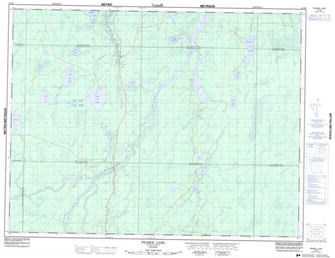
042G09 Pearce Lake Canada topo map, 1:50,000 scale
042G09 Pearce Lake NRCAN topographic map.
Includes UTM and GPS geographic coordinates (latitude and longitude). This 50k scale map is suitable for hiking, camping, and exploring, or you could frame it as a wall map.
Printed on-demand using high resolution, on heavy weight and acid free paper, or as an upgrade on a variety of synthetic materials.
Topos available on paper, Waterproof, Poly, or Tyvek. Usually shipping rolled, unless combined with other folded maps in one order.
- Product Number: NRCAN-042G09
- Parent Topo: TOPO-042G
- Map ID also known as: 042G09, 42G9, 42G09
- Unfolded Size: Approximately 26" high by 36" wide
- Weight (paper map): ca. 55 grams
- Map Type: POD NRCAN Topographic Map
- Map Scale: 1:50,000
- Geographical region: Ontario, Canada
Neighboring Maps:
All neighboring Canadian topo maps are available for sale online at 1:50,000 scale.
Purchase the smaller scale map covering this area: Topo-042G
Spatial coverage:
Topo map sheet 042G09 Pearce Lake covers the following places:
- Beardmore - Clay - Guilfoyle - Gurney - Hopkins - Nixon - Pearce - Teetzel - Torrance - Tucker - Weichel - Williamson - Bay Lake - Bovril Lake - Douglas Lake - East Trump Lake - Five Pines Lake - Francklyn Lake - Gertrude Lake - Ghost Lake - Guilfoyle Lake - Gurney Lake - Hopkins Lake - Levert Lake - Margaret Lake - Maxwell Lake - McKenzie Lake - Nixon Lake - Owlet Lake - Pearce Lake - Sawyer Lake - Sensenbrenner Lake - Torrance Lake - Walkom Lake - West Trump Lake - Fauquier-Strickland - Owens, Williamson and Idington - Shackleton and Machin - Val Rita-Harty - Currie Creek - Francklyn Creek - Hopkins Creek - Kapuskasing River - Lily Creek - Lily River - Lost River - Nixon Creek - O'Brien Creek - Owlet Creek - Pearce Creek - Remi River - Rivière de Kapuskasing - Sensenbrenner Creek - Teetzel Creek - Torrance Creek - Tucker Creek


