
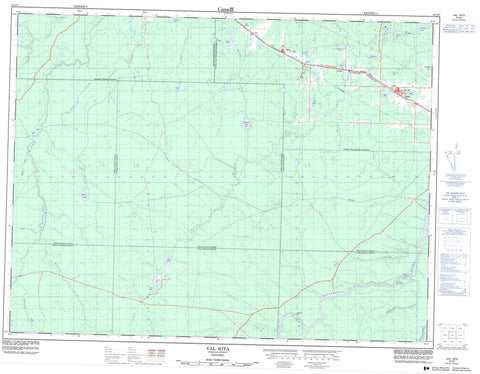
042G07 Val Rita Canada topo map, 1:50,000 scale
042G07 Val Rita NRCAN topographic map.
Includes UTM and GPS geographic coordinates (latitude and longitude). This 50k scale map is suitable for hiking, camping, and exploring, or you could frame it as a wall map.
Printed on-demand using high resolution, on heavy weight and acid free paper, or as an upgrade on a variety of synthetic materials.
Topos available on paper, Waterproof, Poly, or Tyvek. Usually shipping rolled, unless combined with other folded maps in one order.
- Product Number: NRCAN-042G07
- Parent Topo: TOPO-042G
- Map ID also known as: 042G07, 42G7, 42G07
- Unfolded Size: Approximately 26" high by 36" wide
- Weight (paper map): ca. 55 grams
- Map Type: POD NRCAN Topographic Map
- Map Scale: 1:50,000
- Geographical region: Ontario, Canada
Neighboring Maps:
All neighboring Canadian topo maps are available for sale online at 1:50,000 scale.
Purchase the smaller scale map covering this area: Topo-042G
Spatial coverage:
Topo map sheet 042G07 Val Rita covers the following places:
- Bakatase Falls - Big Beaver Falls - Cargill - Cumming - Ecclestone - Idington - McCrea - Owens - Parnell - Sulman - Williamson - Bergsma Lake - Biz Lake - Breben Lake - Cargill Lake - Cargill Lake - Clegg Lake - Echo Lake - Glen Lake - Hull Lake - Lac Barroque - Lac de Midas - Lac des Isles - Lac McCready - Lepage Lake - Lost Lake - Marsh Lake - Sand Lake - Sideburn Lake - Smith Lake - Solomon Lake - Teetzel Lake - Therrien Lake - Todd Lake - Idington and McCrae - Opasatika - Owens, Williamson and Idington - Val Rita-Harty - Camp Three Rapids - Alder Creek - Big Beaver Creek - Crow Creek - Ecclestone Creek - Glen Creek - Gosselin Creek - Hull Creek - Kapuskasing River - Lambert Creek - Little Lost River - Lost River - Martel Creek - Mather Creek - Opasatika River - Opazatika River - Owens Creek - Owens Creek - Parnell Creek - Pit Creek - Rivière de Kapuskasing - Rivière Opasatika - Saganash River - Solomon Creek - South Crow Creek - Teetzel Creek - Harty - Lepage - Val Rita - Valrita


