
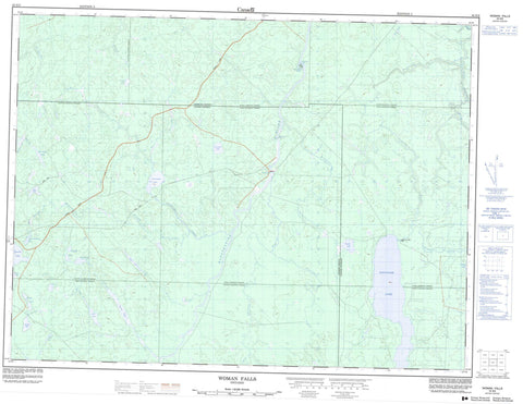
042G02 Woman Falls Canada topo map, 1:50,000 scale
042G02 Woman Falls NRCAN topographic map.
Includes UTM and GPS geographic coordinates (latitude and longitude). This 50k scale map is suitable for hiking, camping, and exploring, or you could frame it as a wall map.
Printed on-demand using high resolution, on heavy weight and acid free paper, or as an upgrade on a variety of synthetic materials.
Topos available on paper, Waterproof, Poly, or Tyvek. Usually shipping rolled, unless combined with other folded maps in one order.
- Product Number: NRCAN-042G02
- Parent Topo: TOPO-042G
- Map ID also known as: 042G02, 42G2, 42G02
- Unfolded Size: Approximately 26" high by 36" wide
- Weight (paper map): ca. 55 grams
- Map Type: POD NRCAN Topographic Map
- Map Scale: 1:50,000
- Geographical region: Ontario, Canada
Neighboring Maps:
All neighboring Canadian topo maps are available for sale online at 1:50,000 scale.
Purchase the smaller scale map covering this area: Topo-042G
Spatial coverage:
Topo map sheet 042G02 Woman Falls covers the following places:
- Old Woman Falls - White Otter Falls - Woman Falls - Bourinot - Cargill - Concobar - Ecclestone - Fenton - Oscar - Shanly - Staples - Sulman - White Otter Island - Base Lake - Big Herring Lake - Bootee Lake - Bourinot Lake - Carl Lake - Compass Lakes - Cooper Lake - Ding Lake - East Rufus Lake - Gosselin Lake - Graveyard Lake - Moss Lake - Oscar Lake - Pinette Lake - Powell Lake - Saganash Lake - South Moosehorn Lake - Staples Lake - Thom Lake - Townend Lake - Shanly Creek Drumlins Conservation Reserve - White Otter Rapids - Alder Creek - Concobar Creek - East Graveyard Creek - Ecclestone Creek - Gosselin Creek - Graveyard Creek - Graveyard Creek - Kapuskasing River - Little Saganash River - Lost River - Moosehorn Creek - Moss Creek - Oscar Creek - Picea Creek - Pinette Creek - Powell Creek - Rivière de Kapuskasing - Rufus Creek - Saganash River - Shanly Creek - South Moosehorn Creek - Staples Creek - Thom Creek - West Graveyard Creek


