
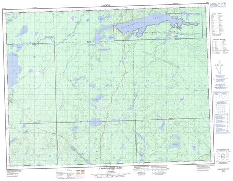
042F07 Nagagamisis Lake Canada topo map, 1:50,000 scale
042F07 Nagagamisis Lake NRCAN topographic map.
Includes UTM and GPS geographic coordinates (latitude and longitude). This 50k scale map is suitable for hiking, camping, and exploring, or you could frame it as a wall map.
Printed on-demand using high resolution, on heavy weight and acid free paper, or as an upgrade on a variety of synthetic materials.
Topos available on paper, Waterproof, Poly, or Tyvek. Usually shipping rolled, unless combined with other folded maps in one order.
- Product Number: NRCAN-042F07
- Parent Topo: TOPO-042F
- Map ID also known as: 042F07, 42F7, 42F07
- Unfolded Size: Approximately 26" high by 36" wide
- Weight (paper map): ca. 55 grams
- Map Type: POD NRCAN Topographic Map
- Map Scale: 1:50,000
- Geographical region: Ontario, Canada
Neighboring Maps:
All neighboring Canadian topo maps are available for sale online at 1:50,000 scale.
Purchase the smaller scale map covering this area: Topo-042F
Spatial coverage:
Topo map sheet 042F07 Nagagamisis Lake covers the following places:
- Deep Bay - Duck Bay - Moose Bay - Rocky Point - The Narrows - Elgie - Frost - Haig - Hiawatha - Lessard - McEwing - Nagagami - Newlands - Wicksteed - Alex Lake - Axe Lake - Bear Lake - Bogert Lake - Crew Lake - Elgie Lake - Elsie Lake - Garnet Lake - Haig Lake - Hans Lake - Hart Lake - Helen Lake - Hiawatha Lake - Humberstone Lake - Ice Lake - Jog Lake - Lennon Lake - Lily Lake - Lone Cabin Lake - Marten Lake - Marten Lake - Mefrau Lake - Menzie Lake - Moose Lake - Nagagami Lake - Nagagamisis Lake - Newlands Lake - Nord Lake - Norton Lake - Park Lake - Puzzle Lake - Raft Lake - Ronald Lake - Seven and a Half Lake - South Lake - St. Onge's Lake - Tomkew's Lake - Tondern Lake - Wicksteed Lake - Wigwam Lake - Hornepayne - Wicksteed - Nagagami Lake Provincial Nature Reserve - Nagagamisis Provincial Park - Couchiching Rapids - Sagi Rapids - Blackwater Creek - Cedar Creek - Cree Creek - Frost Creek - Haig Creek - Hans Creek - Lennon Creek - McEwing Creek - Menzie Creek - Nagagami River - Nagagamisis River - Newlands Creek - Norton Creek - Obakamiga River - Seven and a Half Creek - Tondern Creek - Wigwam Creek - Couchiching Portage - Sagi Portage - Lennon - The Meadows


