
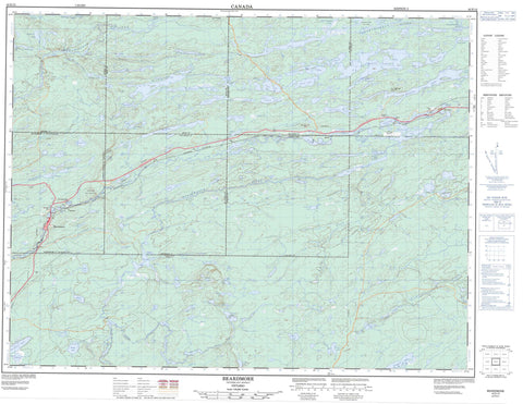
042E12 Beardmore Canada topo map, 1:50,000 scale
042E12 Beardmore NRCAN topographic map.
Includes UTM and GPS geographic coordinates (latitude and longitude). This 50k scale map is suitable for hiking, camping, and exploring, or you could frame it as a wall map.
Printed on-demand using high resolution, on heavy weight and acid free paper, or as an upgrade on a variety of synthetic materials.
Topos available on paper, Waterproof, Poly, or Tyvek. Usually shipping rolled, unless combined with other folded maps in one order.
- Product Number: NRCAN-042E12
- Parent Topo: TOPO-042E
- Map ID also known as: 042E12, 42E12
- Unfolded Size: Approximately 26" high by 36" wide
- Weight (paper map): ca. 55 grams
- Map Type: POD NRCAN Topographic Map
- Map Scale: 1:50,000
- Geographical region: Ontario, Canada
Neighboring Maps:
All neighboring Canadian topo maps are available for sale online at 1:50,000 scale.
Purchase the smaller scale map covering this area: Topo-042E
Spatial coverage:
Topo map sheet 042E12 Beardmore covers the following places:
- Blackwater Bay - Twin Falls - Irwin - Leduc - McComber - Sandra - Summers - Vincent - Walters - Kingston Island - Aldon Lake - Amik Lake - Angle Creek - Angle Lake - Archie Lake - Ball Lake - Baloney Lake - Bearskin Lake - Beartrap Lake - Beatty Lake - Bee Lake - Biceps Lake - Biff Lake - Big Dawson Lake - Bigamy Lake - Bilge Lake - Bite Lake - Blackwater Lake - Blonde Lake - Blue Lake - Bogus Lake - Bold Lake - Boomer Lake - Brass Lake - Brill Lake - Brow Lake - Bulge Lake - Bur Lake - Bush Lake - Camproad Lake - Clearall Lake - Clist Lake - Coleman Lake - Coral Lake - Corrigan Lake - Crater Lake - Dead Lake - Diamond Drill Lake - Doris Lake - Doughnut Lake - Dumont Lake - Edith Lake - Empire Lake - Expansion Lake - Fairloch Lake - Foxear Lake - Goddard Lake - Gooseneck Lake - Gwyn Lake - Hallow Lake - Hawkins Lake - Ida Lake - Janakka Lake - Kinago Lake - Knox Lake - Leduc Lake - Leopard Lake - Lillian Lake - Little Dawson Lake - Little Masinabik Lake - Lordmayor Lake - McCambly Lake - McComber Lake - Murray Lake - Musca Lake - Nezah Lake - Ningik Lakes - Nissiamkikam Lake - Noble Lake - Nora Lake - Norami Lake - Nordic Lake - Norman Lake - Nylund Lakes - Odjidimo Lake - Oxaline Lake - Paint Lake - Pasha Lake - Patter Lake - Pauline Lake - Peep Lake - Petersen Lake - Phoney Lake - Pirum Lake - Princess Chain of Lakes - Ralph Lake - Rolland Lake - Schnob Lake - Scissors Lake - Seamstress Lake - Settingduck Lake - Spawn Lake - Spooner Lake - Spring Lake - Standingstone Lake - Still Lake - Summers Lake - Tallon Lake - Thimble Lake - Vincent Lake - Watson Lake - Westman Lake - Whitebark Lake - Windigokan Lake - Moose Hill - Moose Mountain - Beardmore - Nakina - Long Rapids - Babe Creek - Biceps Creek - Blackwater River - Brow Creek - Camproad Creek - Corrigan Creek - Crooked Green Creek - Foxear Creek - Gooseneck Creek - High Hill Creek - Kenneth Creek - Little Blackwater Creek - Little Blackwater River - Little Postagoni River - Littlelake River - McComber Creek - Namewaminikan River - Nissiamkikam Creek - Oxaline Creek - Phoney Creek - Ralph Creek - Sandy Creek - Standingstone River - Tallon Creek - Thimble Creek - Vincent Creek - Warneford Creek - Watson Creek - Greenstone - Beardmore - Empire - Jackpine - Jellicoe - Nezah - Tansleyville


