
042D12 Grebe Point Canada topo map, 1:50,000 scale
042D12 Grebe Point NRCAN topographic map.
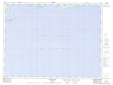
Includes UTM and GPS geographic coordinates (latitude and longitude). This 50k scale map is suitable for hiking, camping, and exploring, or you could frame it as a wall map.
Printed on-demand using high resolution, on heavy weight and acid free paper, or as an upgrade on a variety of synthetic materials.
Topos available on paper, Waterproof, Poly, or Tyvek. Usually shipping rolled, unless combined with other folded maps in one order.
- Product Number: NRCAN-042D12
- Parent Topo: TOPO-042D
- Map ID also known as: 042D12, 42D12
- Unfolded Size: Approximately 26" high by 36" wide
- Weight (paper map): ca. 55 grams
- Map Type: POD NRCAN Topographic Map
- Map Scale: 1:50,000
- Geographical region: Ontario, Canada
Neighboring Maps:
All neighboring Canadian topo maps are available for sale online at 1:50,000 scale.
Purchase the smaller scale map covering this area: Topo-042D
Spatial coverage:
Topo map sheet 042D12 Grebe Point covers the following places:
- Armour Harbour - Bullers Bay - Duncan Cove - French Harbour - McKay Cove - McNab Harbour - Morn Harbour - Woodbine Harbour - Beetle Point - Bullers Point - Dupuis Point - Grebe Point - McNab Peninsula - McNab Point - Morn Point - Pope Point - Bullers Gap - Simpson Channel - Agate Island - Angelica Island - Armour Island - Bowman Island - Bullers Island - Burnet Island - Dunmore Island - Giraoud Island - Legault Island - Longcroft Island - Mooley Island - Nest Island - Owl Island - Paradise Island - Raven Island - Raymond Island - Reid Island - Rowen Island - Simpson Island - St. Ignace Island - St. Joe Islands - Talbot Island - Hiller Lake - Lac Supérieur - Lake Superior - Lesarge Lake - McKay Lake - Agate Island Wilderness Area - Josephine Shoal - Legault's Rock - Thorne Shoal - Whelan Shoal


