
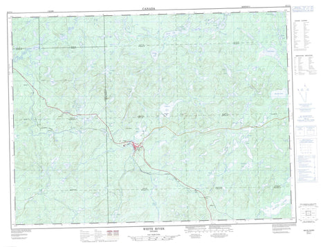
042C11 White River Canada topo map, 1:50,000 scale
042C11 White River NRCAN topographic map.
Includes UTM and GPS geographic coordinates (latitude and longitude). This 50k scale map is suitable for hiking, camping, and exploring, or you could frame it as a wall map.
Printed on-demand using high resolution, on heavy weight and acid free paper, or as an upgrade on a variety of synthetic materials.
Topos available on paper, Waterproof, Poly, or Tyvek. Usually shipping rolled, unless combined with other folded maps in one order.
- Product Number: NRCAN-042C11
- Parent Topo: TOPO-042C
- Map ID also known as: 042C11, 42C11
- Unfolded Size: Approximately 26" high by 36" wide
- Weight (paper map): ca. 55 grams
- Map Type: POD NRCAN Topographic Map
- Map Scale: 1:50,000
- Geographical region: Ontario, Canada
Neighboring Maps:
All neighboring Canadian topo maps are available for sale online at 1:50,000 scale.
Purchase the smaller scale map covering this area: Topo-042C
Spatial coverage:
Topo map sheet 042C11 White River covers the following places:
- 63 - 64 - 65 - 66 - 70 - Abraham - Bryant - Cecile - Common - Cooper - Flood - Hunt - Johns - Knowles - McCron - McDowell - McGowan - Odlum - Tedder - Thunder Bay - Vasiloff - Bear Lake - Blue Cedar Lake - Bottle Lake - Bridget Lake - Buck Lake - Camphouse Lake - Caribou Lake - Chain Lakes - Clearwater Lake - Crocker's Lake - Danny Lake - Dead Lake - Delink Lake - Denis Lake - Depew Lake - Devil Lake - Doe Lake - Duffy Lake - Flood Lake - Green Lakes - Hawkes Lake - Jimbo Lake - John Lake - Kaginagakog Lake - Kakakiwibik Lake - Kauskanee Lake - Kawapitapika Lake - Kawaweagama Lake - Leslie Lakes - Little Lake - Little Owl Lake - Little Round Lake - Little Tukanee Lake - Lois Lake - Long Lake - Lost Lake - Lovedee Lake - Mephitis Lake - Mink Lake - Mud Lake - Nabigon Lake - Needle Lake - Nokanee Lake - North Buck Lake - North Crocker's Lake - North Depew Lake - North Mink Lake - O'Brien Lakes - Odlum Lake - Oganek Lake - Paint Lake - Pakoawaga Lake - Pants Lake - Perrys Lake - Pickerel Lake - Picnic Lake - Pike Lake - Pilots Lake - Polly Lake - Rat Lake - Round Lake - Round Lake - Ruthie Lake - Snake Lake - Sole Lake - Tarpon Lake - Tedder Lake - Tent Lake - Tukanee Lake - Upper Duffy Lake - Upper Kawaweagama Lake - Wawigami Lake - Whitefish Lake - The Pimple - White River - Kakakiwibik Esker Conservation Reserve - Kwinkwaga Ground Moraine Uplands Conservation Reserve - Pokei Lake/White River Wetlands Provincial Nature Reserve - Pokei Lake/White River Wetlands Provincial Park - Sandy Portage Rapids - Caddy Creek - Clay Cut Creek - David Creek - Dayohessarah Creek - Delink Creek - Depew Creek - Depew River - East Bremner River - East Kwinkwaga River - First Creek - Kawaweagama Creek - Kwinkwaga River - Leslie Creek - Lovedee Creek - Northend Creek - O'Brien Creek - Odlum Creek - Okoko Creek - Picnic Creek - Second Creek - Tarpon Creek - Tedder River - Tedder River - Tukanee Creek - Tukanee Creek - Tukanee Creek - Two and a Half Creek - White River - Whitehead's Creek - Bremner - Denison - Depew - O'Brien - White River


