
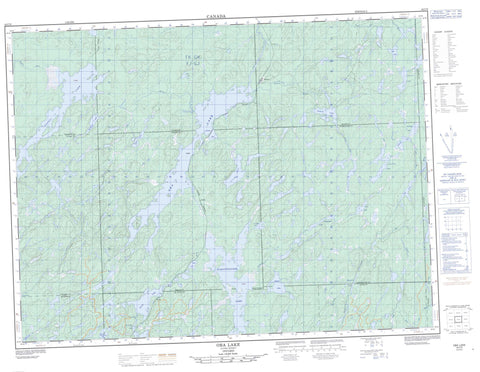
042C09 Oba Lake Canada topo map, 1:50,000 scale
042C09 Oba Lake NRCAN topographic map.
Includes UTM and GPS geographic coordinates (latitude and longitude). This 50k scale map is suitable for hiking, camping, and exploring, or you could frame it as a wall map.
Printed on-demand using high resolution, on heavy weight and acid free paper, or as an upgrade on a variety of synthetic materials.
Topos available on paper, Waterproof, Poly, or Tyvek. Usually shipping rolled, unless combined with other folded maps in one order.
- Product Number: NRCAN-042C09
- Parent Topo: TOPO-042C
- Map ID also known as: 042C09, 42C9, 42C09
- Unfolded Size: Approximately 26" high by 36" wide
- Weight (paper map): ca. 55 grams
- Map Type: POD NRCAN Topographic Map
- Map Scale: 1:50,000
- Geographical region: Ontario, Canada
Neighboring Maps:
All neighboring Canadian topo maps are available for sale online at 1:50,000 scale.
Purchase the smaller scale map covering this area: Topo-042C
Spatial coverage:
Topo map sheet 042C09 Oba Lake covers the following places:
- Hoodoo Bay - Acton - Carney - Challener - Cudney - Makawa - Martin - Mildred - Moorehouse - Mosambik - Pearkes - Simpson - St. Julien - Winget - Awameg Lake - Cheesehead Lake - Coat Lake - Craig Lake - Dibben Lake - Esnagi Lake - Fitzpatrick Lake - Gay Lake - Hafer Lake - Johnny Lake - Laura Lake - Little Fire Lake - Little Peckerwood Lake - Makadawa Lake - Merekeme Lake - Nameibin Lake - Oba Lake - Otter Lake - Partridge Lake - Peckerwood Lake - Rock Lake - Scully Lake - St. Julien Lake - Tatnall Lake - Wabatongushi Lake - Walk Lake - Coat River - Dibben Creek - Dog River - Fire River - Fitzpatrick Creek - Gay Creek - Little Fire River - Lochalsh River - Magpie River - Oba River - Rivière Magpie - Tatnall River - Five Mile Portage - Hilda - Mosher - Scully - Tatnall


