
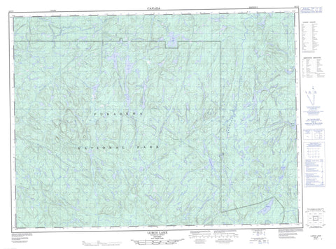
042C05 Lurch Lake Canada topo map, 1:50,000 scale
042C05 Lurch Lake NRCAN topographic map.
Includes UTM and GPS geographic coordinates (latitude and longitude). This 50k scale map is suitable for hiking, camping, and exploring, or you could frame it as a wall map.
Printed on-demand using high resolution, on heavy weight and acid free paper, or as an upgrade on a variety of synthetic materials.
Topos available on paper, Waterproof, Poly, or Tyvek. Usually shipping rolled, unless combined with other folded maps in one order.
- Product Number: NRCAN-042C05
- Parent Topo: TOPO-042C
- Map ID also known as: 042C05, 42C5, 42C05
- Unfolded Size: Approximately 26" high by 36" wide
- Weight (paper map): ca. 55 grams
- Map Type: POD NRCAN Topographic Map
- Map Scale: 1:50,000
- Geographical region: Ontario, Canada
Neighboring Maps:
All neighboring Canadian topo maps are available for sale online at 1:50,000 scale.
Purchase the smaller scale map covering this area: Topo-042C
Spatial coverage:
Topo map sheet 042C05 Lurch Lake covers the following places:
- Lurch Falls - Nighthawk Falls - Thunder Bay - Bertha Lake - Birch Lake - Cabin Lake - Foster Lake - Fox Lake - Gornupkagama Lake - Louie Lake - Lower Birch Lake - Lurch Lake - McCrea Lake - North Soldier Lake - One Island Lake - Partridge Lake - Pinei Lake - Rein Lake - Rye Lake - South Soldier Lake - Widgeon Lake - Soldier Hill - Tip Top Mountain - Parc national du Canada Pukaskwa - Pukaskwa National Park of Canada - Bremner River - Cascade River - East Bremner River - East Reverse Creek - Fox River - Lurch River - McCrea Creek - North Swallow River - Oskabukuta River - Pukaskwa River - Rein Creek - Reverse Creek - Swallow River - Swallow River - Monica Portage


