
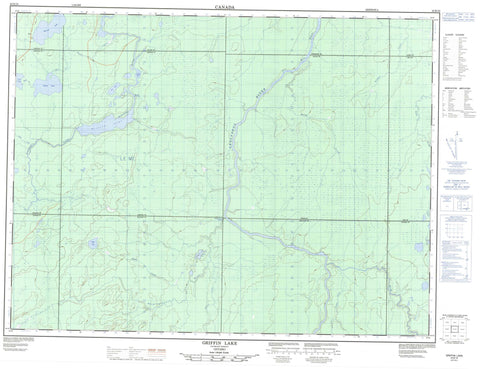
042B16 Griffin Lake Canada topo map, 1:50,000 scale
042B16 Griffin Lake NRCAN topographic map.
Includes UTM and GPS geographic coordinates (latitude and longitude). This 50k scale map is suitable for hiking, camping, and exploring, or you could frame it as a wall map.
Printed on-demand using high resolution, on heavy weight and acid free paper, or as an upgrade on a variety of synthetic materials.
Topos available on paper, Waterproof, Poly, or Tyvek. Usually shipping rolled, unless combined with other folded maps in one order.
- Product Number: NRCAN-042B16
- Parent Topo: TOPO-042B
- Map ID also known as: 042B16, 42B16
- Unfolded Size: Approximately 26" high by 36" wide
- Weight (paper map): ca. 55 grams
- Map Type: POD NRCAN Topographic Map
- Map Scale: 1:50,000
- Geographical region: Ontario, Canada
Neighboring Maps:
All neighboring Canadian topo maps are available for sale online at 1:50,000 scale.
Purchase the smaller scale map covering this area: Topo-042B
Spatial coverage:
Topo map sheet 042B16 Griffin Lake covers the following places:
- Aitken - Cochrane - Fenton - Ford - Griffin - Hicks - Lisgar - Oke - Poulett - Seaton - Slack - Stringer - Watson - Cooke Lake - Day Lake - Esmee Lake - Griffin Lake - Holden Lake - Kapik Lake - Keenoa Lake - Ossan Lake - Pratt Lake - Watson Lake - Fauquier-Strickland - Shackleton and Machin - Hicks-Oke Bog Provincial Nature Reserve - Northern Claybelt Forest Complex Conservation Reserve - Otapingshewee Rapids - Belford Creek - Groundhog River - Hicks Creek - Kapik Creek - Keenoa Creek - Nat River - Otapingshewee River - Poulett Creek - Rivière Groundhog - Seaton Creek - Shack Creek - South Creek - Stringer Creek - Wakusimi River


