
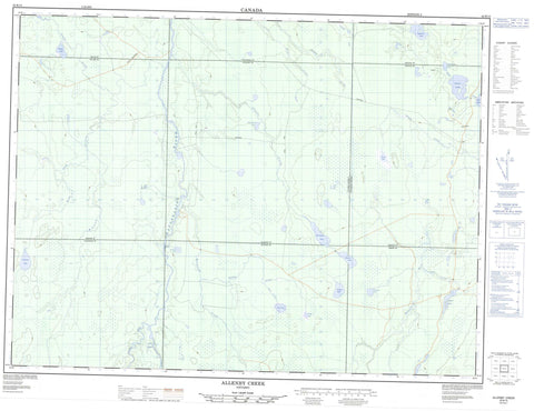
042B15 Allenby Creek Canada topo map, 1:50,000 scale
042B15 Allenby Creek NRCAN topographic map.
Includes UTM and GPS geographic coordinates (latitude and longitude). This 50k scale map is suitable for hiking, camping, and exploring, or you could frame it as a wall map.
Printed on-demand using high resolution, on heavy weight and acid free paper, or as an upgrade on a variety of synthetic materials.
Topos available on paper, Waterproof, Poly, or Tyvek. Usually shipping rolled, unless combined with other folded maps in one order.
- Product Number: NRCAN-042B15
- Parent Topo: TOPO-042B
- Map ID also known as: 042B15, 42B15
- Unfolded Size: Approximately 26" high by 36" wide
- Weight (paper map): ca. 55 grams
- Map Type: POD NRCAN Topographic Map
- Map Scale: 1:50,000
- Geographical region: Ontario, Canada
Neighboring Maps:
All neighboring Canadian topo maps are available for sale online at 1:50,000 scale.
Purchase the smaller scale map covering this area: Topo-042B
Spatial coverage:
Topo map sheet 042B15 Allenby Creek covers the following places:
- Allenby - Buchan - Clouston - Cochrane - Concobar - Fenton - Lisgar - Maude - Oscar - Seaton - Buchan Lake - Clouston Lake - Lisgar Lake - Little Allenby Lake - Little Shack Lake - Pratt Lake - Roland Lake - Saganash Lake - Sandshore Lake - Seaton Lake - Shack Lake - Short Lake - Strobus Lake - Teepee Lake - Wakusimi Lake - Cedar Rapids - Clouston Rapids - Allenby Creek - Buchan Creek - Concobar Creek - Dunrankin River - Kapuskasing River - Lisgar Creek - MacIntosh Creek - Maude Creek - Picea Creek - Rivière de Kapuskasing - Seaton Creek - Shack Creek - Shanly Creek - Short Creek - Teepee Creek - Wakusimi River - Wigwam Creek


