
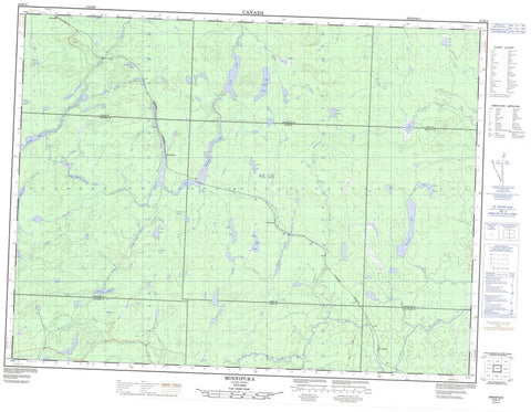
042B13 Minnipuka Canada topo map, 1:50,000 scale
042B13 Minnipuka NRCAN topographic map.
Includes UTM and GPS geographic coordinates (latitude and longitude). This 50k scale map is suitable for hiking, camping, and exploring, or you could frame it as a wall map.
Printed on-demand using high resolution, on heavy weight and acid free paper, or as an upgrade on a variety of synthetic materials.
Topos available on paper, Waterproof, Poly, or Tyvek. Usually shipping rolled, unless combined with other folded maps in one order.
- Product Number: NRCAN-042B13
- Parent Topo: TOPO-042B
- Map ID also known as: 042B13, 42B13
- Unfolded Size: Approximately 26" high by 36" wide
- Weight (paper map): ca. 55 grams
- Map Type: POD NRCAN Topographic Map
- Map Scale: 1:50,000
- Geographical region: Ontario, Canada
Neighboring Maps:
All neighboring Canadian topo maps are available for sale online at 1:50,000 scale.
Purchase the smaller scale map covering this area: Topo-042B
Spatial coverage:
Topo map sheet 042B13 Minnipuka covers the following places:
- Smoky Bay - Byng - Hayward - Hook - Kildare - Legge - Marjorie - Mildred - Minnipuka - Puskuta - Walls - Alf Lake - Bay Berry Lakes - Boomerang Lake - Byng Lake - Culbert Lake - Dallaire Lake - Dishnish Lake - East Legge Lake - Goat Lake - Legge Lake - Little Akron Lake - Little Dishnish Lake - Little Goat Lake - Little Marjorie Lake - Little Puskuta Lake - Lower Minnipuka Lake - Marjorie Lake - Minnipuka Lake - Mongoose Lake - Moonyear Lake - North Byng Lake - North Dishnish Lake - Pichogen Lake - Puskuta Lake - Tar Lake - Walls Lake - Wampuss Lake - Pichogen River Mixed Forest Provincial Park - Byng Creek - Culbert Creek - Dallaire Creek - Dishnish Creek - Fire River - Goat River - Legge Creek - Little Goat River - Little Marjorie Creek - Marjorie Creek - Mildred Creek - Minnipuka Creek - Nebotik River - North Byng Creek - North Dishnish Creek - Pichogen River - Puskuta Creek - Smoky Creek - Tar Creek - Dishnish - Fire River - Kishbaugh - Minnipuka - Neswabin


