
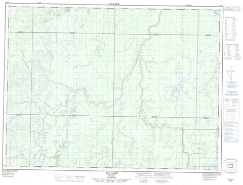
042B09 Elf Lake Canada topo map, 1:50,000 scale
042B09 Elf Lake NRCAN topographic map.
Includes UTM and GPS geographic coordinates (latitude and longitude). This 50k scale map is suitable for hiking, camping, and exploring, or you could frame it as a wall map.
Printed on-demand using high resolution, on heavy weight and acid free paper, or as an upgrade on a variety of synthetic materials.
Topos available on paper, Waterproof, Poly, or Tyvek. Usually shipping rolled, unless combined with other folded maps in one order.
- Product Number: NRCAN-042B09
- Parent Topo: TOPO-042B
- Map ID also known as: 042B09, 42B9, 42B09
- Unfolded Size: Approximately 26" high by 36" wide
- Weight (paper map): ca. 55 grams
- Map Type: POD NRCAN Topographic Map
- Map Scale: 1:50,000
- Geographical region: Ontario, Canada
Neighboring Maps:
All neighboring Canadian topo maps are available for sale online at 1:50,000 scale.
Purchase the smaller scale map covering this area: Topo-042B
Spatial coverage:
Topo map sheet 042B09 Elf Lake covers the following places:
- Aitken - Belford - Cochrane - Enid - Fortune - Lisgar - Montcalm - Nova - Ossin - Poulett - Strachan - Wadsworth - Watson - Flying Post 73 - Flying Post Indian Reserve 73 - Réserve indienne Flying Post 73 - Elf Lake - Fryingpan Lake - Heath Lake - Ossin Lake - Nova Township Clay Plain Peatlands Conservation Reserve - Six Mile Rapids - Bartlett Creek - Belford Creek - Groundhog River - Ivanhoe River - Komak Creek - Montcalm Creek - Nat River - Osishana Creek - Paypeeshek River - Poulett Creek - Rivière Groundhog


