
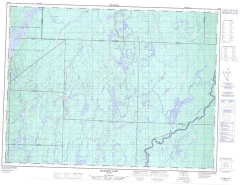
042B06 Makonie Lake Canada topo map, 1:50,000 scale
042B06 Makonie Lake NRCAN topographic map.
Includes UTM and GPS geographic coordinates (latitude and longitude). This 50k scale map is suitable for hiking, camping, and exploring, or you could frame it as a wall map.
Printed on-demand using high resolution, on heavy weight and acid free paper, or as an upgrade on a variety of synthetic materials.
Topos available on paper, Waterproof, Poly, or Tyvek. Usually shipping rolled, unless combined with other folded maps in one order.
- Product Number: NRCAN-042B06
- Parent Topo: TOPO-042B
- Map ID also known as: 042B06, 42B6, 42B06
- Unfolded Size: Approximately 26" high by 36" wide
- Weight (paper map): ca. 55 grams
- Map Type: POD NRCAN Topographic Map
- Map Scale: 1:50,000
- Geographical region: Ontario, Canada
Neighboring Maps:
All neighboring Canadian topo maps are available for sale online at 1:50,000 scale.
Purchase the smaller scale map covering this area: Topo-042B
Spatial coverage:
Topo map sheet 042B06 Makonie Lake covers the following places:
- Barclay Bay - Last Bay - The Narrows - Admiral - Barclay - Bonar - Brutus - Busby - Calais - Clifton - Copperfield - Kapuskasing - Kildare - Kirkwall - Lerwick - Lipsett - Lloyd - Bittern Lake - Bonar Lake - British Lake - Brutus Lake - Busby Lake - Calais Lake - Copperfield Lake - Dunrankin Lake - Grenadier Lake - Hay Lake - Irish Lake - Kakanakwa Lake - Leaning Lake - Leaningstone Lake - Lipsett Lake - Little Bear Lake - Lloyd Lake - Makonie Lake - Missinaibi Lake - Schewabik Lake - Sharp Hoof Lake - Stefansson Lake - Stone Lake - Upper Dunrankin Lake - Van Lake - Welsh Lake - Wrong Lake - Chapleau-Nemegosenda River Provincial Park - Missinaibi Provincial Park - Old Brunswick House Wilderness Area - Cedar Rapids - Long Rapids - Busby Creek - Calais Creek - Chapleau River - Copperfield Creek - Dunrankin River - East Dunrankin River - Flying Post Creek - Grenadier Creek - Hay River - Kakanakwa Creek - Kirkwall River - Leaningstone Creek - Little Hay River - Makonie River - Missinaibi River - Rivière Chapleau - Rivière Missinaibi - Stefansson Creek


