
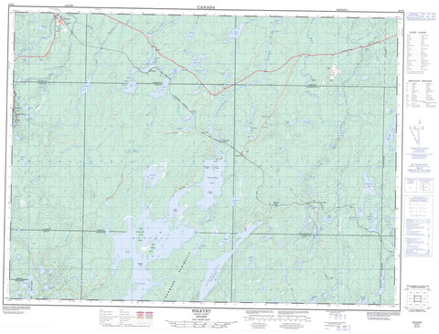
042B01 Foleyet Canada topo map, 1:50,000 scale
042B01 Foleyet NRCAN topographic map.
Includes UTM and GPS geographic coordinates (latitude and longitude). This 50k scale map is suitable for hiking, camping, and exploring, or you could frame it as a wall map.
Printed on-demand using high resolution, on heavy weight and acid free paper, or as an upgrade on a variety of synthetic materials.
Topos available on paper, Waterproof, Poly, or Tyvek. Usually shipping rolled, unless combined with other folded maps in one order.
- Product Number: NRCAN-042B01
- Parent Topo: TOPO-042B
- Map ID also known as: 042B01, 42B1, 42B01
- Unfolded Size: Approximately 26" high by 36" wide
- Weight (paper map): ca. 55 grams
- Map Type: POD NRCAN Topographic Map
- Map Scale: 1:50,000
- Geographical region: Ontario, Canada
Neighboring Maps:
All neighboring Canadian topo maps are available for sale online at 1:50,000 scale.
Purchase the smaller scale map covering this area: Topo-042B
Spatial coverage:
Topo map sheet 042B01 Foleyet covers the following places:
- Hardiman Bay - Horwood Peninsula - Pinecone Point - Old Channel - Upper Falls - Foleyet - Hardiman - Horwood - Ivanhoe - Keith - Kenogaming - Muskego - Penhorwood - Reeves - Regan - Sewell - Silk - Whigham - Birch Island - Blueberry Island - Cranberry Island - East Marsh Island - Kichi Island - Potato Island - West Marsh Island - Ant Island Lake - Armstrong Lake - Axe Lake - Beaverflood Lake - Beckham Lake - Ben's Pond - Big Boulder Lake - Blackbill Lake - Bobsled Lake - Boulder Lake - Boys Lake - Bryce Lake - Butt Lake - Camp Lake - Canyon Lake - Cornice Lake - Dingee Lake - Elongate Lake - Far Lake - Fool Lake - Forearm Lake - Gee Lake - Great Lake - Green Lake - Groundhog Lake - Hanrahan Lake - Harry Lake - Heart Lake - Hoodoo Lake - Horwood Lake - Ivanhoe Lake - Ivy Lake - Jehann Lake - Keith Lake - Kenese Lake - Lane Lake - Larrabee Lake - Leadbeater Lake - Lefever Lake - Longfellow Lake - MacKeith Lake - Midway Lake - Montgomery Lake - Moose Lake - Muskego Lake - Nest Lake - Offspring Lake - Palomar Lake - Primer Lake - Roadside Lake - Saw Lake - Sherry Lake - Singed Tree Lake - Slate Rock Lake - Slim Lake - Slink Lake - Steepe Lake - Taylor Lake - Tionaga Lake - Vimy Lake - White Duck Lake - Wye Lake - Radio Hill - Ivanhoe Lake Provincial Park - Vimy Lake Uplands Conservation Reserve - Bryce Creek - Cornice Creek - Deerfoot Creek - East Branch Nat River - Groundhog River - Ivanhoe River - Ivanhoe River (New Channel) - Ivanhoe River (Old Channel) - Keith Creek - Kenese Creek - Marl Creek - Midway River - Moonshine Creek - Muskego River - Nat River - North Storm Creek - Rivière Groundhog - Scorch Creek - Storm Creek - Vimy Creek - West Branch Nat River - West Crawford Creek - West Crawford River - West Creek - Foleyet - Groundhog River - Horwood Lake - Joburke - Kukatush - Palomar - Singelake - Tionaga


