
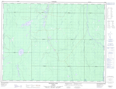
042A13 Manning Lake Canada topo map, 1:50,000 scale
042A13 Manning Lake NRCAN topographic map.
Includes UTM and GPS geographic coordinates (latitude and longitude). This 50k scale map is suitable for hiking, camping, and exploring, or you could frame it as a wall map.
Printed on-demand using high resolution, on heavy weight and acid free paper, or as an upgrade on a variety of synthetic materials.
Topos available on paper, Waterproof, Poly, or Tyvek. Usually shipping rolled, unless combined with other folded maps in one order.
- Product Number: NRCAN-042A13
- Parent Topo: TOPO-042A
- Map ID also known as: 042A13, 42A13
- Unfolded Size: Approximately 26" high by 36" wide
- Weight (paper map): ca. 55 grams
- Map Type: POD NRCAN Topographic Map
- Map Scale: 1:50,000
- Geographical region: Ontario, Canada
Neighboring Maps:
All neighboring Canadian topo maps are available for sale online at 1:50,000 scale.
Purchase the smaller scale map covering this area: Topo-042A
Spatial coverage:
Topo map sheet 042A13 Manning Lake covers the following places:
- Aitken - Aubin - Cochrane - Dargavel - Ford - Geary - Kingsmill - Kirkland - Laidlaw - Mabee - Mahaffy - Moberly - Oke - Reid - Thorburn - Timiskaming - Wilhelmina - Aitken Lake - Aubin Lake - Crystal Lake - Island Lake - Laidlaw Lake - Lower Aitken Lake - Manning Lake - Oke Lake - Return Lake - Thorburn Lake - White Caribou Lake - Geary Township Shoreline Bluff Conservation Reserve - North Muskego River Mixed Forest Conservation Reserve - Aitken Creek - Aubin Creek - Dargavel Creek - East Muskego River - Ford Creek - Geary Creek - Kingsmill Creek - Laidlaw Creek - Manning Creek - Mattagami River - North Muskego River - Poplar Rapids River - Rivière Mattagami - Rivière Poplar - South Creek - Thorburn Creek - White Caribou River - Wilhelmina Creek


