
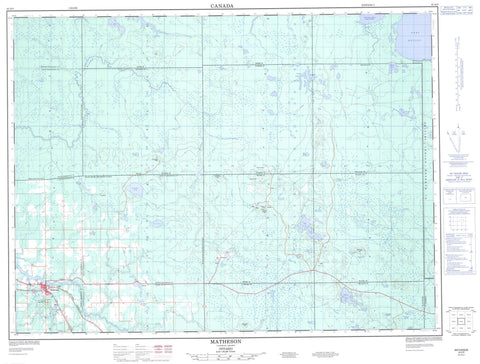
042A09 Matheson Canada topo map, 1:50,000 scale
042A09 Matheson NRCAN topographic map.
Includes UTM and GPS geographic coordinates (latitude and longitude). This 50k scale map is suitable for hiking, camping, and exploring, or you could frame it as a wall map.
Printed on-demand using high resolution, on heavy weight and acid free paper, or as an upgrade on a variety of synthetic materials.
Topos available on paper, Waterproof, Poly, or Tyvek. Usually shipping rolled, unless combined with other folded maps in one order.
- Product Number: NRCAN-042A09
- Parent Topo: TOPO-042A
- Map ID also known as: 042A09, 42A9, 42A09
- Unfolded Size: Approximately 26" high by 36" wide
- Weight (paper map): ca. 55 grams
- Map Type: POD NRCAN Topographic Map
- Map Scale: 1:50,000
- Geographical region: Ontario, Canada
Neighboring Maps:
All neighboring Canadian topo maps are available for sale online at 1:50,000 scale.
Purchase the smaller scale map covering this area: Topo-042A
Spatial coverage:
Topo map sheet 042A09 Matheson covers the following places:
- Chesney Bay - Long Point - McDougal Falls - Beatty - Bowman - Carr - Cochrane - Coulson - Garrison - Guibord - Hislop - Kerrs - Knox - McCool - Michaud - Milligan - Munro - Rickard - Timiskaming - Warden - Wilkie - Abitibi Indian Reserve 70 - Réserve indienne Abitibi 70 - Andrews Lake - Barnes Lake - Belleek Lake - Blueberry Lake - Bobs Lake - Camp Lake - Camrose Lake - Clodan Lake - Coulson Lake - Croesus Lake - Eastford Lake - Fade Lake - Faulk Lake - Ford Lake - Froome Lake - Game Lake - Guibord Lake - Hewitt Lake - Keller Lake - Kettle Lake - Knight Lake - Lac Abitibi - Lady Maude Lake - Lake Abitibi - Lawlar Lake - Leach Lake - Marks Lake - Masse Lake - McCulloch Lake - McLean Lake - Milligan Lake - Monahan Lake - Munro Lake - Nickle Lake - North Kettle Lake - Painkiller Lake - Perry Lake - Ransom Lake - Rayner Lake - Rayville Lake - Red Deer Lake - Russell Lake - Salve Lake - Three Mile Lake - Wayne Lake - Centre Hill - Guibord Hill - McCool Hill - Warden Hill - Black River-Matheson - Kingham - Playfair - Shallow River Poplar Outwash Conservation Reserve - Barton Creek - Bell River - Black River - Bobs Creek - Camp Creek - Centre Creek - Coulson Creek - Little Pike River - Low Creek - McCool Creek - Monahan Creek - Nickle Creek - Perry Creek - Pike River - Ransom Creek - Russell Creek - Salve Creek - Shallow River - Tanager Creek - Warden Creek - Iroquois Falls - Belleek - Matheson


