
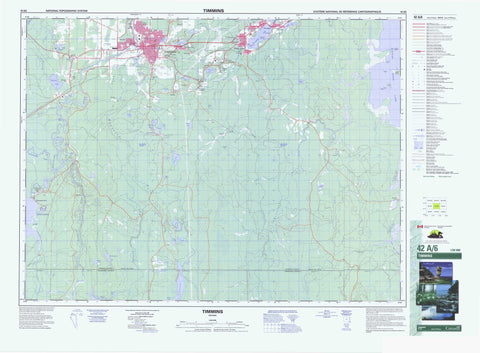
042A06 Timmins Canada topo map, 1:50,000 scale
042A06 Timmins NRCAN topographic map.
Includes UTM and GPS geographic coordinates (latitude and longitude). This 50k scale map is suitable for hiking, camping, and exploring, or you could frame it as a wall map.
Printed on-demand using high resolution, on heavy weight and acid free paper, or as an upgrade on a variety of synthetic materials.
Topos available on paper, Waterproof, Poly, or Tyvek. Usually shipping rolled, unless combined with other folded maps in one order.
- Product Number: NRCAN-042A06
- Parent Topo: TOPO-042A
- Map ID also known as: 042A06, 42A6, 42A06
- Unfolded Size: Approximately 26" high by 36" wide
- Weight (paper map): ca. 55 grams
- Map Type: POD NRCAN Topographic Map
- Map Scale: 1:50,000
- Geographical region: Ontario, Canada
Neighboring Maps:
All neighboring Canadian topo maps are available for sale online at 1:50,000 scale.
Purchase the smaller scale map covering this area: Topo-042A
Spatial coverage:
Topo map sheet 042A06 Timmins covers the following places:
- Carman Bay - Chesterfield Bay - Hydro Bay - St. Peter Bay - Deadman's Point - Grassy Point - Poplar Point - Timmins - Timmins-Porcupine - Wawaitin Falls - Adams - Bristol - Carman - Cochrane - Cody - Deloro - Douglas - Eldorado - Fallon - Fripp - Godfrey - Langmuir - McArthur - McKeown - Mountjoy - Ogden - Price - Shaw - Thorneloe - Timiskaming - Tisdale - Whitney - Camp Island - Crow Island - Driftwood Island - Gull Island - Moose Island - Nest Island - Turn Islands - Alice Lake - Baker Lake - Beaver Lake - Bobs Lake - Bob's Lake - Boyd Lake - Clear Lake - Cook Lake - Cook's Lake - Cowboy Lake - Cowboy Lake - Deep Lake - Dubroy Lake - Edwards Lake - Fly Lake - Flynn Lake - Foolem Lake - Galore Lake - Gillies Lake - Glass Lake - Gold Lake - Goose Lake - Grassy Lake - Hope Lake - Hopkins Lake - Horseshoe Lake - Jen Lake - Katoshaskepeko Lake - Kenogamissi Lake - Latimer Lake - McDonald Lake - McKay Lake - Meadow Lake - Miller Lake - Night Hawk Lake - Nighthawk Lake - Papakomeka Lake - Pearl Lake - Perch Lake - Porcupine Lake - Potvin Lake - Quartz Lake - Reid Lake - Shallow Lake - Shaw Lake - Simpson Lake - Skynner Lake - Smith Lake - Waterhen Lake - Wealthy Lakes - Mountjoy - Tisdale - Whitney - Pigeon Rapids - Bobs Creek - Bob's Creek - Bristol Creek - Bruce Creek - Chesterfield Creek - Croteau Creek - Forks River - Goose Creek - Grassy River - Kennedy Creek - Little Waterhen Creek - Mattagami River - McArthur Creek - Mountjoy River - Night Hawk River - Nighthawk River - Paradis Creek - Porcupine River - Redstone River - Rivière Mattagami - Shaw Creek - South Porcupine River - Splitrock River - Tatachikapika River - Town Creek - Waterhen Creek - Aunor - Buffalo-Ankerite - Connaught Hill - Delnite - Dome - Dome Extension - Finntown - Gold Centre - Golden City - Mattagami Heights - Melrose Gardens - Mountjoy - Porcupine - Pottsville - Preston East - Schumacher - South Porcupine - Wawaitin Falls


