
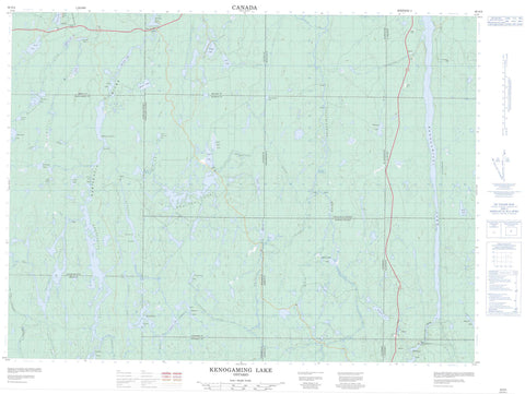
042A04 Kenogaming Lake Canada topo map, 1:50,000 scale
042A04 Kenogaming Lake NRCAN topographic map.
Includes UTM and GPS geographic coordinates (latitude and longitude). This 50k scale map is suitable for hiking, camping, and exploring, or you could frame it as a wall map.
Printed on-demand using high resolution, on heavy weight and acid free paper, or as an upgrade on a variety of synthetic materials.
Topos available on paper, Waterproof, Poly, or Tyvek. Usually shipping rolled, unless combined with other folded maps in one order.
- Product Number: NRCAN-042A04
- Parent Topo: TOPO-042A
- Map ID also known as: 042A04, 42A4, 42A04
- Unfolded Size: Approximately 26" high by 36" wide
- Weight (paper map): ca. 55 grams
- Map Type: POD NRCAN Topographic Map
- Map Scale: 1:50,000
- Geographical region: Ontario, Canada
Neighboring Maps:
All neighboring Canadian topo maps are available for sale online at 1:50,000 scale.
Purchase the smaller scale map covering this area: Topo-042A
Spatial coverage:
Topo map sheet 042A04 Kenogaming Lake covers the following places:
- Red Pine Point - High Falls - Kenogamissi Falls - Childerhose - Crothers - Doyle - Gouin - Hassard - Hillary - Kenogaming - McBride - McKeown - Northrup - Pharand - Regan - Reynolds - Roblin - Sewell - Timiskaming - Akweskwa Lake - Beaucage Lake - Benbow Lake - Big John Lake - Bilbe Lake - Chabot Lake - Chair Lake - Childerhose Lake - Crawford Lake - Crossover Lake - Cunningham Lake - Dark Lake - Deacon Lake - Deerfoot Lake - Dungaree Lake - Eastman Lake - FarrLake - Frise Lake - Hanrahan Lake - Hassard Lake - Hillary Lake - Horseshoe Lake - Indian Lake - Kaneki Lake - Kenogaming Lake - Kenogamissi Lake - Kidney Lake - Lap Lake - Late Lake - Left Lake - Little John Lake - Little Murr Lake - Little Pharand Lake - Little Shookemi Lake - Logie Lake - Lown Lake - Mattagami Lake - McBride Lake - McKeown Lake - Miskwamabi Lake - Misty Lake - Murr Lake - Napier Lake - Norma Lake - Opishing Lake - Pharand Lake - Pineland Lake - Porcupine Lake - Red Sucker Lake - Robson Lake - Sashihaw Lake - Sewell Lake - Shookemi Lake - Tanton Lake - Weston Lake - Wolf Lake - Horseshoe Rapids - Ahsine Creek - Bent Creek - Childerhose Creek - Crawford River - Deerfoot Creek - Godon Creek - Hassard Creek - Kamiskotia River - Kelly Creek - Kenese Creek - Left Creek - Little Pharand Creek - Lostdog Creek - Mattagami River - McBride Creek - McKeown Creek - Mindedo Creek - Pharand Creek - Rivière Mattagami - Robson Creek - Sashihaw Creek - Sewell Creek - Shookemi Creek - Tatachikapika River - Gladwick


