
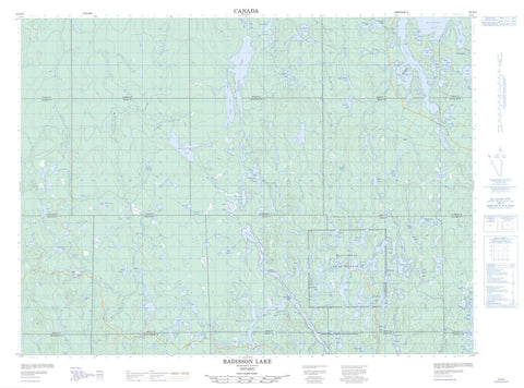
042A02 Radisson Lake Canada topo map, 1:50,000 scale
042A02 Radisson Lake NRCAN topographic map.
Includes UTM and GPS geographic coordinates (latitude and longitude). This 50k scale map is suitable for hiking, camping, and exploring, or you could frame it as a wall map.
Printed on-demand using high resolution, on heavy weight and acid free paper, or as an upgrade on a variety of synthetic materials.
Topos available on paper, Waterproof, Poly, or Tyvek. Usually shipping rolled, unless combined with other folded maps in one order.
- Product Number: NRCAN-042A02
- Parent Topo: TOPO-042A
- Map ID also known as: 042A02, 42A2, 42A02
- Unfolded Size: Approximately 26" high by 36" wide
- Weight (paper map): ca. 55 grams
- Map Type: POD NRCAN Topographic Map
- Map Scale: 1:50,000
- Geographical region: Ontario, Canada
Neighboring Maps:
All neighboring Canadian topo maps are available for sale online at 1:50,000 scale.
Purchase the smaller scale map covering this area: Topo-042A
Spatial coverage:
Topo map sheet 042A02 Radisson Lake covers the following places:
- Big Island Bay - Sable Bay - Redpine Narrows - Matachewan Falls - Alma - Argyle - Baden - Bannockburn - Cairo - Cleaver - Dunmore - Fallon - Fasken - Flavelle - Hincks - Holmes - McNeil - Michie - Montrose - Nordica - Powell - Robertson - Sheba - Terry - Timiskaming - Matachewan 72 - Matachewan Indian Reserve 72 - Réserve indienne Matachewan 72 - Big Island - Argyle Lake - Ashley Lake - Baptiste Lake - Barris Lake - Bastian Lake - Beaudin Lake - Beaver Lake - Belt Lake - Bird Lake - Blackburn Lake - Browning Lake - Byng Lake - Canoe Lake - Cariboo Lake - Chief Lake - Clearwater Lake - Cowie Lake - Currie Lake - Dara Lake - Deak Lake - Dixon Lake - Dowsett Lake - East Night Hawk Lake - East Nighthawk Lake - East Whitefish Lake - Esker Lake - Ezra Lake - Fan Lake - Galer Lake - Geraldine Lake - Gerry Lake - Golub Lake - Greenwater Lake - Holmes Lake - Island Lake - Jackson Lake - Kenaja Lake - Kowisis Lake - Latouche Lake - Laurad Lake - Leziert Lake - Little Chief Lake - Little Whitefish Lake - Lula Lake - Mackay Lake - Matachewan Lake - McDonnel Lake - McNaughton Lake - McPhail Lake - McWilliams Lake - Michie Lake - Mima Lake - Mistinikon Lake - Muhquoh Lake - Narrow Lake - Neegeek Lake - Nokomis Lake - Ononlo Lake - Powell Lake - Radisson Lake - Robb Lake - Robertson Lake - Ronald Lake - Sanborn Lake - Separation Lake - Sheba Lake - Skoodeas Lake - Slim Lake - Squaw Lake - Steve Lake - Sunny Lake - Tent Lake - Tomfox Lake - Toy Lake - Tully Lake - Turtle Lake - Upper Kenaja Lake - Upper Sylvia Lake - Watabeag Lake - Weldy Lake - Whiskeyjack Lake - Whitefish Lake - Willard Lake - Wyley Lake - Matachewan - Matachewan - West Montreal River Provincial Park - Whitefish and East Whitefish Lakes Sandy Till Upland Conservation Reserve - Whitefish River Sandy Till Conservation Reserve - Argyle Creek - Baptiste Creek - Belt Creek - Browning Creek - Brush Creek - Chief Creek - East Night Hawk River - East Nighthawk River - East Whitefish River - Esker Creek - Gerry Creek - Hawley Creek - Kenaja Creek - Latouche Creek - Leziert Creek - Little Whitefish River - McCollum Creek - McDonnel Creek - Night Hawk River - Nighthawk River - Nokomis Creek - Powell Creek - Radisson Creek - Sheba Creek - Squaw Creek - St. Paul Creek - Sylvia Creek - Tent Creek - West Montreal River - West Night Hawk River - West Nighthawk River - Whitefish River - Great Northern Bend


