
041P16 Charlton Canada topo map, 1:50,000 scale
041P16 Charlton NRCAN topographic map.
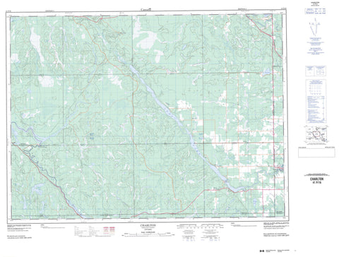
Includes UTM and GPS geographic coordinates (latitude and longitude). This 50k scale map is suitable for hiking, camping, and exploring, or you could frame it as a wall map.
Printed on-demand using high resolution, on heavy weight and acid free paper, or as an upgrade on a variety of synthetic materials.
Topos available on paper, Waterproof, Poly, or Tyvek. Usually shipping rolled, unless combined with other folded maps in one order.
- Product Number: NRCAN-041P16
- Parent Topo: TOPO-041P
- Map ID also known as: 041P16, 41P16
- Unfolded Size: Approximately 26" high by 36" wide
- Weight (paper map): ca. 55 grams
- Map Type: POD NRCAN Topographic Map
- Map Scale: 1:50,000
- Geographical region: Ontario, Canada
Neighboring Maps:
All neighboring Canadian topo maps are available for sale online at 1:50,000 scale.
Purchase the smaller scale map covering this area: Topo-041P
Spatial coverage:
Topo map sheet 041P16 Charlton covers the following places:
- McColl Bay - Indian Chute Falls - Beauchamp - Blain - Bryce - Chamberlain - Dack - Davidson - Farr - Flavelle - Gross - James - Kimberley - Marquis - Mickle - Pacaud - Robillard - Savard - Sharpe - Smyth - Timiskaming - Truax - Tudhope - Willison - Ryan Island - Blackfox Lake - Elk Lake - Flavelle Lake - Fraser Lake - Greening Lake - Hough Lake - Hubert Lake - Kinogami Lake - Kushog Lake - Long Lake - Louise Lake - McLeod Lake - Mearow Lake - Mews Lake - Middleton Lake - Mitchell Lake - Moses Lake - Planty Lake - Robillard Lake - Round Lake - Souci Lake - Thomson Lake - Chamberlain - Charlton and Dack - Dack - James - Matachewan - Matachewan - Englehart River Fine Sand Plain and Waterway Provincial Park - Aidie Creek - Alligator Creek - Blanche River - Council Creek - Crocodile Creek - Crooked Creek - Driftwood Creek - Englehart River - Englehart River - Explorer Creek - Flavelle Creek - Little Driftwood Creek - Middleton Creek - Montreal River - Moosehorn Creek - Planty Creek - Sunday Creek - Sydney Creek - Tamarac Creek - Teepee Creek - Charlton - Charlton Station - Costello - Glenvale - Hough Lake - Mount MacDonald - Zeta


