
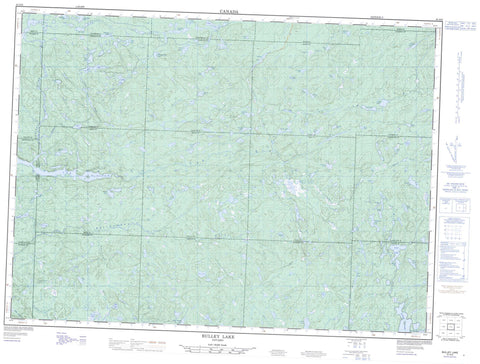
041O05 Bulley Lake Canada topo map, 1:50,000 scale
041O05 Bulley Lake NRCAN topographic map.
Includes UTM and GPS geographic coordinates (latitude and longitude). This 50k scale map is suitable for hiking, camping, and exploring, or you could frame it as a wall map.
Printed on-demand using high resolution, on heavy weight and acid free paper, or as an upgrade on a variety of synthetic materials.
Topos available on paper, Waterproof, Poly, or Tyvek. Usually shipping rolled, unless combined with other folded maps in one order.
- Product Number: NRCAN-041O05
- Parent Topo: TOPO-041O
- Map ID also known as: 041O05, 41O5, 41O05
- Unfolded Size: Approximately 26" high by 36" wide
- Weight (paper map): ca. 55 grams
- Map Type: POD NRCAN Topographic Map
- Map Scale: 1:50,000
- Geographical region: Ontario, Canada
Neighboring Maps:
All neighboring Canadian topo maps are available for sale online at 1:50,000 scale.
Purchase the smaller scale map covering this area: Topo-041O
Spatial coverage:
Topo map sheet 041O05 Bulley Lake covers the following places:
- 10G - 10H - 11G - 11H - 22,15 - 22,16 - 22,17 - 22,18 - 23,15 - 23,16 - 23,17 - 23,18 - 24,15 - 24,16 - 24,17 - 24,18 - 8G - 8H - 9G - 9H - Carton - Emiry - Engstrom - Fitzsimmons - Genier - Green - Hallett - Hammond - Hancock - Kosny - McParland - Moen - Moggy - Neill - Patenaude - Running - Schembri - Scriven - Sherratt - Sudbury - Vondette - Adios Lake - Alm Lake - Becor Lake - Bliss Lake - Bloor Lake - Brock Lake - Brutus Lake - Bucksaw Lake - Buckshee Lake - Bullbat Lake - Bulley Lake - Bunting Lake - Caesar Lake - Calf Lake - Camel Lake - Cap Lake - Chewink Lake - Chickadee Lake - Cork Lake - Cowichan Lake - Dud Lake - Eel Lake - Elgin Lake - Elma Lake - Espaniel Lake - Export Lake - False Lake - Farewell Lake - Farmer Lake - Flange Lake - Gord Lake - Groove Lake - Hail Lake - Halliday Lake - Hinton Lake - Hotspot Lake - Impasse Lake - Jigaboo Lake - Jog Lake - Keelow Lake - Kid Lake - Kistigan Lake - Lance Lake - Lawless Lake - Lawrence Lake - Lineus Lake - McLeod Lake - Megisan Lake - Muir Lake - Mutt Lake - Nackawic Lake - Neundorf Lake - Ninegee Lake - Nokomis Lake - North Emerson Lake - Oban Lake - Peewee Lake - Percy Lake - Perth Lake - Petrosky Lake - Pipit Lake - Poetry Lake - Pogey Lake - Short Lake - Shrike Lake - Sliver Lake - Tam Lake - Teal Lake - Tengee Lake - Toorie Lake - Troy Lake - Verse Lake - Wakaw Lake - Wedge Lake - Whiskey Jack Lake - Zorra Lake - Ranger North Conservation Reserve - Batchawana River - Bow Creek - Bulley Creek - Challener River - Convey Creek - Cow River - Dixon Creek - Emerson Creek - Farewell Creek - Goulais River - Keelow Creek - Lawrence Creek - Montreal River - Percy Creek - Pineal Creek - Summit Creek - Tikamaganda River - Toll Creek - Vacher Creek - Verse Creek - West Aubinadong River


