
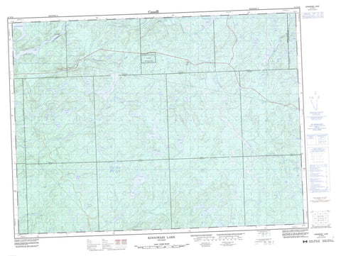
041N16 Kinniwabi Lake Canada topo map, 1:50,000 scale
041N16 Kinniwabi Lake NRCAN topographic map.
Includes UTM and GPS geographic coordinates (latitude and longitude). This 50k scale map is suitable for hiking, camping, and exploring, or you could frame it as a wall map.
Printed on-demand using high resolution, on heavy weight and acid free paper, or as an upgrade on a variety of synthetic materials.
Topos available on paper, Waterproof, Poly, or Tyvek. Usually shipping rolled, unless combined with other folded maps in one order.
- Product Number: NRCAN-041N16
- Parent Topo: TOPO-041N
- Map ID also known as: 041N16, 41N16
- Unfolded Size: Approximately 26" high by 36" wide
- Weight (paper map): ca. 55 grams
- Map Type: POD NRCAN Topographic Map
- Map Scale: 1:50,000
- Geographical region: Ontario, Canada
Neighboring Maps:
All neighboring Canadian topo maps are available for sale online at 1:50,000 scale.
Purchase the smaller scale map covering this area: Topo-041N
Spatial coverage:
Topo map sheet 041N16 Kinniwabi Lake covers the following places:
- Canyon Falls - Dona Falls - 23,23 - 24,21 - 24,22 - 24,23 - 25,21 - 25,22 - 25,23 - 26,21 - 26,22 - 26,23 - 27,21 - 27,22 - 27,23 - 28,21 - 28,22 - Algoma - D'Avaugour - Maness - Michano - Miskokomon - Nadjiwon - Nebonaionquet - Noganosh - Pawis - Quill - Recollet - Restoule - Roy - Sampson - Saunders - Shawkence - Sudbury - Agawa Lake - Atik Lake - Barney Lake - Bluff Lake - Breck Lake - Budd Lake - Budworm Lake - Bukwaskeagog Lake - Burr Lake - Bush Lake - Chicobi Lake - Chip Lake - Chokio Lake - Crab Lake - Curry Lake - Dave Lake - Dillon Lake - Duke Lake - Eider Lake - Fern Lake - Finn Lake - Flagg Lake - Fulcher Lake - Glassy Lake - Gould Lake - Gypsy Lake - Hay Lake - Irma Lake - Kennedy Lake - Kinniwabi Lake - Koski Lake - Lonesome Lake - Long Lake - Loubert Lake - Middle Lake - One Eye Lake - Otis Lake - Oyakun Lake - Perry Lake - Pinto Lake - Question Lake - Ripple Lake - Sane Lake - Scaup Lake - Scow Lake - Shakashi Lake - Side Lake - Spencer Lake - Sponge Lake - Still Lake - String Lake - Torpid Lake - Wasp Lake - Whitefish Lake - Woodside Lake - Zola Lake - Potholes Provincial Nature Reserve - Agawa River - Budd Creek - Hayes Creek - Jackpine River - Kennedy Creek - Kinniwabi River - Little Jackpine River - Michipicoten River - Perry Creek - Regan River - Sand Creek - Sane Creek - Shakashi River - Shikwamkwa River - Sponge Creek - Tabor Creek - Dona Gorge


