
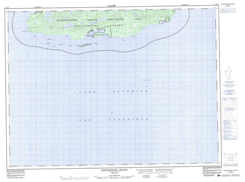
041N12 Michipicoten Island Canada topo map, 1:50,000 scale
041N12 Michipicoten Island NRCAN topographic map.
Includes UTM and GPS geographic coordinates (latitude and longitude). This 50k scale map is suitable for hiking, camping, and exploring, or you could frame it as a wall map.
Printed on-demand using high resolution, on heavy weight and acid free paper, or as an upgrade on a variety of synthetic materials.
Topos available on paper, Waterproof, Poly, or Tyvek. Usually shipping rolled, unless combined with other folded maps in one order.
- Product Number: NRCAN-041N12
- Parent Topo: TOPO-041N
- Map ID also known as: 041N12, 41N12
- Unfolded Size: Approximately 26" high by 36" wide
- Weight (paper map): ca. 55 grams
- Map Type: POD NRCAN Topographic Map
- Map Scale: 1:50,000
- Geographical region: Ontario, Canada
Neighboring Maps:
All neighboring Canadian topo maps are available for sale online at 1:50,000 scale.
Purchase the smaller scale map covering this area: Topo-041N
Spatial coverage:
Topo map sheet 041N12 Michipicoten Island covers the following places:
- Cotton Cove - Cozens Cove - Cozens Harbour - East Sand Bay - False Harbour - Quebec Harbour - Schafer Bay - West Sand Bay - Four Mile Point - Purvis Point - The Junction - Deer Yard - Thunder Bay - Agate Island - Andesite Island - Billys Island - Davieaux Island - Green Island - Hope Island - MacMeekin Island - McMeacin Island - Michipicoten Island - Ship Island - Stack Island - West End Island - Birch Lake - Cedar Lake - Channel Lake - Coldwater Lake - Curtis Lake - Lac Supérieur - Lake Superior - Loon Lake - Michi Lake - Triangle Lake - Michipicoten Island Provincial Park - Antelope Rock - Black Rock - Chummy Bank - Dixon Reef - McMillan Bank - The Breeders - The Hummock - Quebec Harbour


