
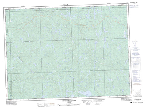
041N09 Blackspruce Lake Canada topo map, 1:50,000 scale
041N09 Blackspruce Lake NRCAN topographic map.
Includes UTM and GPS geographic coordinates (latitude and longitude). This 50k scale map is suitable for hiking, camping, and exploring, or you could frame it as a wall map.
Printed on-demand using high resolution, on heavy weight and acid free paper, or as an upgrade on a variety of synthetic materials.
Topos available on paper, Waterproof, Poly, or Tyvek. Usually shipping rolled, unless combined with other folded maps in one order.
- Product Number: NRCAN-041N09
- Parent Topo: TOPO-041N
- Map ID also known as: 041N09, 41N9, 41N09
- Unfolded Size: Approximately 26" high by 36" wide
- Weight (paper map): ca. 55 grams
- Map Type: POD NRCAN Topographic Map
- Map Scale: 1:50,000
- Geographical region: Ontario, Canada
Neighboring Maps:
All neighboring Canadian topo maps are available for sale online at 1:50,000 scale.
Purchase the smaller scale map covering this area: Topo-041N
Spatial coverage:
Topo map sheet 041N09 Blackspruce Lake covers the following places:
- 24,18 - 24,19 - 24,20 - 24,21 - 25,18 - 25,19 - 25,20 - 25,21 - 26,18 - 26,19 - 26,20 - 26,21 - 27,18 - 27,19 - 27,20 - 27,21 - 28,18 - 28,19 - 28,20 - 28,21 - Algoma - Barnes - Beaudin - Beaudry - Beauparlant - Behmann - Bullock - Cannard - Corboy - Eaket - Emiry - Restoule - Roy - Sampson - Saunders - Shawkence - Stoney - Suganaqueb - Tabobondung - Waswa - Wawia - Anns Lake - April Lake - Austin Lake - Beaverflood Lake - Benli Lake - Bentti Lake - Berry Lake - Blackspruce Lake - Bonnet Lake - Brant Lake - Broken Paddle Lake - Buddy Lake - Butcher Lake - Carpet Lake - Daisy Lake - Deacon Lake - Dickie Lake - Duke Lake - Eleven Mile Lake - Ellam Lake - Foot Lake - Ford Lake - Fulcher Lake - Hookah Lake - Hornet Lake - Jay Lake - Jeep Lake - Jimmy Lake - Joki Lake - Jupiter Lake - Koski Lake - Lira Lake - Loam Lake - Low Lake - Lowland Lake - Lue Lake - Lyds Lake - Mank Lake - March Lake - Masalin Lake - Matilda Lake - McEwen Lake - McQuillen Lake - Mead Lake - Mobout Lake - Monarch Lake - Mount Baldy Lake - Nailhead Lake - Nick Lake - Odd Lake - Parch Lake - Pelt Lake - Pie Lake - Pipoli Lake - Queer Lake - Rainer Lake - Regan Lake - Rex Lake - Roderic Lake - Scow Lake - Selin Lake - Shadow Lake - Shanty Lake - Shasta Lake - Siwash Lake - Solitaire Lake - Step Lake - Stillwater Lake - Tikamaganda Lake - Truman Lake - Twelve Mile Lake - Warbler Lake - White Birch Lake - Wicky Lake - Wildcherry Lake - Zero Lake - Mount Baldy - Lake Superior Provincial Park - Tikamaganda Lake Conservation Reserve - Agawa River - Blackspruce Creek - Daisy Creek - Harvie Creek - Hayes Creek - Jackpine River - Jimmy Creek - Mank Creek - McEwen Creek - Oddfoot Creek - Parch Creek - Regan River - Shasta Creek - Shasta Creek - Tikamaganda River - Weichel Creek - White Birch Creek - Wildcherry Creek - Eton - Millwood


