
041N02 Mamainse Point Canada topo map, 1:50,000 scale
041N02 Mamainse Point NRCAN topographic map.
Includes UTM and GPS geographic coordinates (latitude and longitude). This 50k scale map is suitable for hiking, camping, and exploring, or you could frame it as a wall map.
Printed on-demand using high resolution, on heavy weight and acid free paper, or as an upgrade on a variety of synthetic materials.
Topos available on paper, Waterproof, Poly, or Tyvek. Usually shipping rolled, unless combined with other folded maps in one order.
- Product Number: NRCAN-041N02
- Parent Topo: TOPO-041N
- Map ID also known as: 041N02, 41N2, 41N02
- Unfolded Size: Approximately 26" high by 36" wide
- Weight (paper map): ca. 55 grams
- Map Type: POD NRCAN Topographic Map
- Map Scale: 1:50,000
- Geographical region: Ontario, Canada
Neighboring Maps:
All neighboring Canadian topo maps are available for sale online at 1:50,000 scale.
Purchase the smaller scale map covering this area: Topo-041N
Spatial coverage:
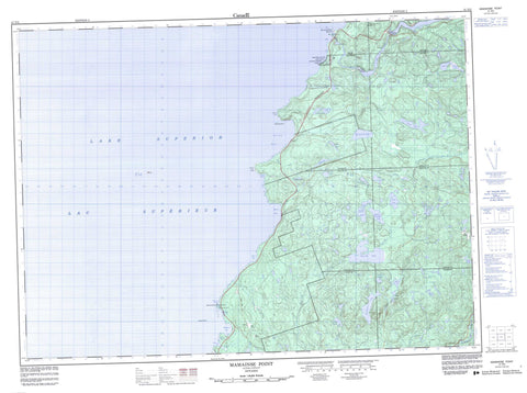
Topo map sheet 041N02 Mamainse Point covers the following places:
- Agates Harbour - Alona Bay - Cozens Cove - Deadman's Cove - Flour Bay - Hibbard Bay - Mamainse Harbour - Mica Bay - Mamainse Point - Pointe aux Mines - Theano Point - 28,13 - 28,14 - 28,15 - 29,14 - 29,15 - Algoma - Kincaid - Nicolet - Palmer - Peever - Rix - Ryan - Slater - Smilsky - Mamainse Island - Ossifrage Island - Alpha Lake - Annie Lake - Beardens Lake - Beta Lake - Bow Lake - Brant Lake - Caysee Lake - Cedar Lakes - Fib Lake - Gamma Lake - Gimlet Lake - Huff Lake - Islay Lake - Joco Lake - Lac Supérieur - Lake Superior - Little Trout Lake - Mamainse Lake - Middle Pancake Lake - Mine Lake - Negick Lake - Pancake Lake - Pipe Lake - Queminico Lake - Round Lake - Spider Lakes - Trout Lake - Upper Gimlet Lake - Upper Pancake Lake - Upper Smith Lake - West Joco Lake - Wiley Lake - Wilson Lake - Mamainse Hill - Montreal River Provincial Nature Reserve - Montreal River Provincial Park - Alona Bay Creek - Batchawana River - Carp River - Dobson's Creek - East Carp River - Gimlet Creek - Kincaid River - Little Batchawana River - Mamainse Creek - Metheany Creek - Mica Bay Creek - Montreal River - Negick Creek - Pancake River - Hibbard Rock - Mica Shoal - Montreal Shoal - Rousseau Bank - Siesta Shoal - Montreal River Harbour


