
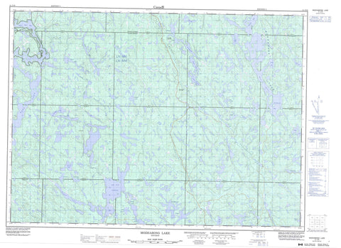
041J16 Mozhabong Lake Canada topo map, 1:50,000 scale
041J16 Mozhabong Lake NRCAN topographic map.
Includes UTM and GPS geographic coordinates (latitude and longitude). This 50k scale map is suitable for hiking, camping, and exploring, or you could frame it as a wall map.
Printed on-demand using high resolution, on heavy weight and acid free paper, or as an upgrade on a variety of synthetic materials.
Topos available on paper, Waterproof, Poly, or Tyvek. Usually shipping rolled, unless combined with other folded maps in one order.
- Product Number: NRCAN-041J16
- Parent Topo: TOPO-041J
- Map ID also known as: 041J16, 41J16
- Unfolded Size: Approximately 26" high by 36" wide
- Weight (paper map): ca. 55 grams
- Map Type: POD NRCAN Topographic Map
- Map Scale: 1:50,000
- Geographical region: Ontario, Canada
Neighboring Maps:
All neighboring Canadian topo maps are available for sale online at 1:50,000 scale.
Purchase the smaller scale map covering this area: Topo-041J
Spatial coverage:
Topo map sheet 041J16 Mozhabong Lake covers the following places:
- Duncan Bay - Irene Bay - Southwest Bay - Moose Narrows - Algoma - Alton - Assad - Avis - B - Beebe - C - Comox - D - Del Villano - Durban - Ethel - F - Fabbro - Fontaine - Foucault - G - Gervais - H - Hotte - J - Jasper - K - L - Landriault - Lefebvre - Monestime - N - O - Olinyk - Oshell - R - S - Sudbury - T - Airport Lake - Alces Lake - Armstrong Lake - Bark Lake - Barn Lake - Boumage Lake - Bullfrog Lake - Centralis Lake - Dumbell Lake - Dusty Lake - Ernie Lake - Expanse Lake - Fifty-five Mile Lake - Five Star Lake - Frying Pan Lake - Hider Lake - Ira Lake - Jackson Lake - Jeanne Lake - Labitiche Lake - Lac aux Sables - Lidstone Lake - Little Beaver Lake - Long Lake - Lower Ritchie Lake - Mile Lake - Mink Lake - Moon Lake - Mozhabong Lake - Poupore Lake - Red Elk Lake - Ritchie Lake - Russian Lake - Shag Lake - Shakwa Lake - Sportsman Lake - Supple Lake - Surveyor Lake - Trevor Lake - Upper Bark Lake - Wenn Lake - West Spanish Lake - Mississagi River Provincial Park - Mozhabong Lake Conservation Reserve - Alces Creek - Boland River - Cee Creek - Centralis Creek - Dumbell Creek - Mississagi River - Norfolk Creek - Red Elk Creek - Tasker Creek - Trevor Creek - Wakonassin River


