
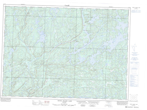
041J14 Rocky Island Lake Canada topo map, 1:50,000 scale
041J14 Rocky Island Lake NRCAN topographic map.
Includes UTM and GPS geographic coordinates (latitude and longitude). This 50k scale map is suitable for hiking, camping, and exploring, or you could frame it as a wall map.
Printed on-demand using high resolution, on heavy weight and acid free paper, or as an upgrade on a variety of synthetic materials.
Topos available on paper, Waterproof, Poly, or Tyvek. Usually shipping rolled, unless combined with other folded maps in one order.
- Product Number: NRCAN-041J14
- Parent Topo: TOPO-041J
- Map ID also known as: 041J14, 41J14
- Unfolded Size: Approximately 26" high by 36" wide
- Weight (paper map): ca. 55 grams
- Map Type: POD NRCAN Topographic Map
- Map Scale: 1:50,000
- Geographical region: Ontario, Canada
Neighboring Maps:
All neighboring Canadian topo maps are available for sale online at 1:50,000 scale.
Purchase the smaller scale map covering this area: Topo-041J
Spatial coverage:
Topo map sheet 041J14 Rocky Island Lake covers the following places:
- Fenner Bay - Rouelle Bay - Seven Mile Bay - South Bay - Tidy Bay - Aubrey Falls - 196 - 2C - 2D - 2E - 2F - 3C - 3D - 3E - 3F - 3G - 4C - 4D - 4E - 4F - 4G - 5C - 5D - 5E - 5F - 5G - Algoma - Cuthbertson - Maeck - Martel - McIlveen - McNie - Meen - Reilly - Renwick - Rioux - Rollins - Root - Royal - Simons - Slievert - Snow - Sturgeon - Timbrell - Villeneuve - Wardle - Winkler - Aubrey Lake - Besley Lake - Blowdown Lake - Boomerang Lake - Boyer Lake - Brown Lake - Burnt Lake - Charette Lake - Clay Lake - Daystar Lake - Doull Lake - East Lake - Elf Lake - Foref Lake - Hazel Lake - Heal Lake - Higher Lake - Horseshoe Lake - Hyt Lake - Jones Lake - Labelle Lake - Laurence Lake - Lelonde Lake - Magrath Lake - Marten Lake - Mashagama Lake - McClung Lake - Medcalf Lake - Muskwash Lake - Ogston Lake - Opal Lake - Penelope Lake - Peshu Lake - Rainy Lake - Ranger Lake - Rimrock Lake - Rock Lake - Rocky Island Lake - Sawbill Lake - Saymo Lake - Seabrook Lake - Sesabic Lake - Seymour Lake - Sigel Lake - Skintent Lake - Smoky Lake - Spike Lake - Spot Lake - Strawberry Lake - Three Lakes - Toodee Lake - Trolling Lake - Vaporem Lake - West Lake - Aubrey Falls Provincial Park - Aubinadong River - Bierce Creek - Black Creek - Dougall Creek - Duval Creek - Little Rapid River - Little Trout Creek - Mashagama Creek - Mississagi River - Muskwash Creek - Peshu Creek - Rapid River - Rimrock Creek - Sesabic Creek - Sharpsand River - Skintent Creek - Spike Creek - Vaporem Creek - Wenebegon River - West Aubinadong River


