
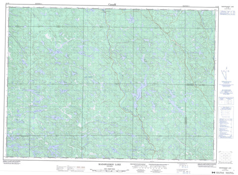
041J09 Madawanson Lake Canada topo map, 1:50,000 scale
041J09 Madawanson Lake NRCAN topographic map.
Includes UTM and GPS geographic coordinates (latitude and longitude). This 50k scale map is suitable for hiking, camping, and exploring, or you could frame it as a wall map.
Printed on-demand using high resolution, on heavy weight and acid free paper, or as an upgrade on a variety of synthetic materials.
Topos available on paper, Waterproof, Poly, or Tyvek. Usually shipping rolled, unless combined with other folded maps in one order.
- Product Number: NRCAN-041J09
- Parent Topo: TOPO-041J
- Map ID also known as: 041J09, 41J9, 41J09
- Unfolded Size: Approximately 26" high by 36" wide
- Weight (paper map): ca. 55 grams
- Map Type: POD NRCAN Topographic Map
- Map Scale: 1:50,000
- Geographical region: Ontario, Canada
Neighboring Maps:
All neighboring Canadian topo maps are available for sale online at 1:50,000 scale.
Purchase the smaller scale map covering this area: Topo-041J
Spatial coverage:
Topo map sheet 041J09 Madawanson Lake covers the following places:
- Bellmore Bay - Elliot Lake - Ritchie Falls - 119 - 120 - 124 - 125 - 131 - 132 - 138 - 139 - 144 - 145 - A - Algoma - B - Buckles - E - F - Hughson - I - J - Landriault - Lefebvre - Lehman - Lockeyer - M - Mandamin - Monestime - Moses - N - Olinyk - Oshell - Piche - Plourde - Poncet - Prescott - Q - R - Redden - Rowat - Strain - Sudbury - Teasdale - Weeks - Alces Lake - Allen Lake - Archambeau Lake - Arrowhead Lake - Bell Lake - Burd Lake - Campover Lake - Cormier Lake - Dave Lake - Deschamp Lake - Dow Lake - Elinor Lake - Frenchmans Lake - Geiger Lake - Gibson Lake - Harold Lake - Harry Lake - Hourglass Lake - Klondyke Lakes - Lazell Lake - Little Long Lake - Lower Klondyke Lake - Lower Ritchie Lake - Lucas Lake - Madawanson Lake - Marion Lake - Mead Lake - Moon Lake - Nina Lake - Patsy Lake - Pilon Lake - Pilot Lake - Robert Lake - Rochester Lake - Rooster Lake - South Long Lake - Spinweb Lake - Splake Lake - Star Lake - Surveyor Lake - Susan Lake - Tee Lake - Terrance Lake - Tip Top Lake - Upper Klondyke Lake - Uranium Lake - Wiggly Lake - Archambeau Lake Forest Conservation Reserve - Alces Creek - Alces Creek - Boland River - Flat Creek - River aux Sables - Rochester Creek - Serpent River - Shoe Creek - Spider Creek - Wakonassin River - West River aux Sables - Barney Rock - Colville Bank


