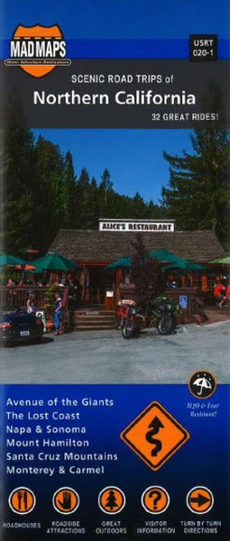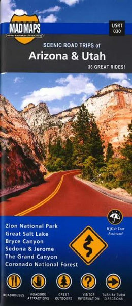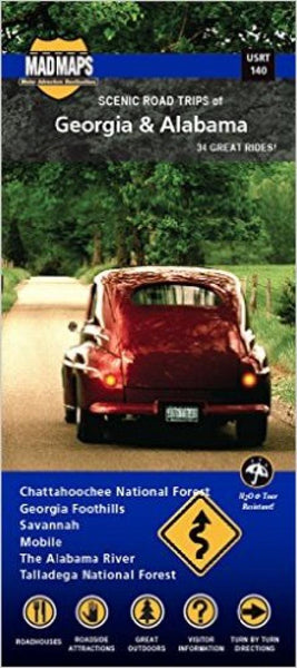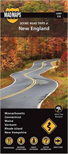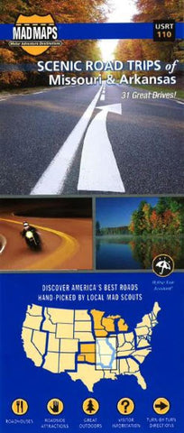
Missouri and Arkansas, Regional Scenic Tours by MAD Maps
Missouri and Arkansas - 2016 edition
USA Road map: includes detailed Missouri map and Arkansas map for the 30 best weekend getaways of the region. From scenic drives to motorcycle touring to day trips in any vehicle of choice, this road trip planner is your go-to source for exploring the must-do scenic highways and scenic byways.
This map is like a mini-guidebook. Local scouts have found the best roads in Missouri and Arkansas, plus the best places to stop along the route. This road trip map covers it all, from Lake of the Ozarks, Mammoth Spring State Park and Ha Ha Tonka State Park to Buffalo National River, Blanchard Springs Caverns and Devils Den State Park. Looking for things to do in the Ozarks? This map showcases this incredible part of the country via the best car, RV and motorcycle roads. MAD Maps road trip maps are available in traditional paper maps, as well as maps for iPhone and Android.
US Road Trip MAD Maps Feature:
*Scenic Day and Overnight Road Trips
*24-35 Trip Options Per Map With Directions
*Convenient Pocket Size: 4 x 9 - (FOLDED)
*Color-Coded Routes
*Water and Tear-Resistant Paper
*Hand-Picked Routes from Local Scouts
*Must See Roadside Attractions
*Campgrounds, Recreational Areas, and Outfitters
*Historical Anecdotes and Entertaining Insights
- Product Number: 2226252M
- Product Code: MADM_RT_MO_AR
- ISBN: 9781933911519
- Year of Publication: 2016
- Folded Size: 8.66 x 3.94 inches
- Unfolded Size: 25.59 x 30.71 inches
- Map type: Folded Map
- Geographical region: United States

