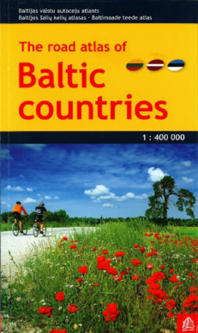
Road Atlas of Baltic Countries by Jana Seta
Road Atlas of the Baltic States: Estonia, Latvia and Lithuania, plus the Kaliningrad province of Russia in a handy size, 14x24cm, paperback format, with a separate index for each country and street plans of over 50 towns. Detailed presentation of the regions road network includes gravel roads and tracks, with locations of petrol stations, border crossings, and intermediate distances on main and secondary roads. Railway connections and ferry routes are marked. Local administrative divisions are shown with names of regions.
Colouring and graphics show forested areas and swaps. National parks and other protected areas as well as picturesque locations are highlighted, and symbols mark other places of interest. Within the Kaliningrad region old pre-WWII German names are given for many locations. The maps have latitude and longitude lines at 15 and 30 respectively. Map legend includes English.
Over 50 street plans, annotated with accommodation, places of interest and facilities including petrol stations, show through routes and main streets in towns within the whole region. For Tallinn, Riga, Vilnius and Kaunas more detailed street plans are provided for the city centre.
- Product Number: 2170031
- Product Code: JAN_BAL_AT
- ISBN: 9789984076416
- Year of Publication: 2013
- Map type: Atlas
- Geographical region: Latvia