BALATONFÜRED, TIHANY map
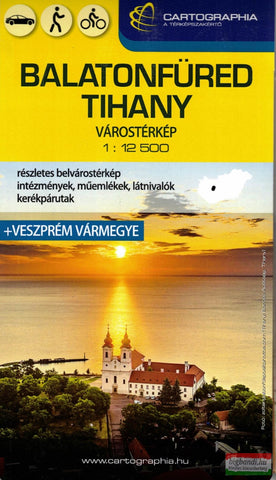
Balatonfüred - Tihany is part of a series of street plans of Hungary’s main towns from Cartographia in Budapest. The plans cover the whole town with its outer suburbs and, where appropriate, have an enlargement for the central area. All the plans have a street index. Map legend varies; in plans of larger towns or popular tourist destinations it usually includes English. Many plans also include additional features: insets with plans of larger satellite developments or villages, lists of sights and/or various municipal offices and facilities, etc. Some titles include on the reverse a road map of the town’s environs or the administrative province. *In this title:* English map legend, a road map of region around the northern part of Lake Balaton, plus street plans of Oskozseg and Eurdotelep at 1:8,000.
- Product Number: C_BAL_TIH_23
- Reference Product Number: - None -
- ISBN: 9789633539422
- Date of Publication: 6/1/2023
- Map format: Folded
- Map type: Trade Maps - City Maps
- Geographical region: Hungary