Chiemsee, Wander-, Rad- und Freizeitkarte 1:50.000, freytag & berndt, WKD 5203, mit Infoguide = Chiemsee, hiking, bike and leisure map 1:50,000 WKD 5203, with infoguide
The Chiemsee forms the center of the map. Radium-close cycle and hiking trails let him explore, lead to shipping into shipping to visit mens and womens island. Condition require the routes through the rugged Chiemgau Alps (over 1,000 m above sea level). Other routes -related routes continue to the west along the Inn or through the hilly landscape north of the lake. You can read about the excursions in this holiday region. Waterproof and tearproof so that the map can be used for orientation even on rainy days, it is printed on a special waterproof and resistant paper. The map is made of 80 % of ground limestone. The production is much more resource -friendly than with conventional paper, since the consumption of water, wood and energy is significantly lower.
- Product Number: FB_WKD_5203_G_22
- Reference Product Number: - None -
- ISBN: 9783707920406
- Date of Publication: 4/25/2022
- Folded Size: 8.06 inches high by 3.93 inches wide
- Unfolded (flat) Size: 8.06 inches high by 3.93 inches wide
- Map format: Folded
- Map type: Trade Maps - Hiking
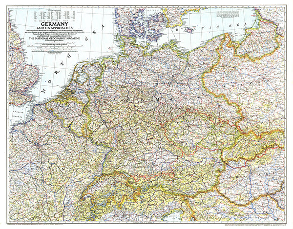
- Geographical region: Germany