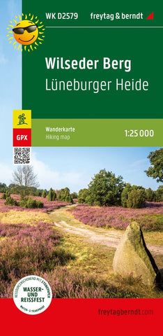
Wilseder Berg, hiking map 1:25,000 WK D2579
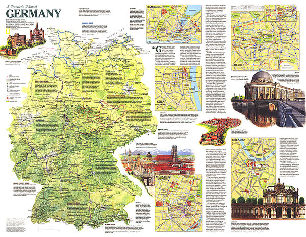
The hiking map presents the Lüneburger Heide nature park, which protects a five -thousand -year -old cultural landscape. The car -free heath landscape, which is still well -groomed by Heidschnuck today, can be well hiked with the help of the map. Seven hundred km of bike and hiking trails are signposted around Bispingen alone. In the kart section, both distant and regional hikes are marked, which, among other things, also the highest elevation of the region that Wilseder Berg pass. Yellow flags provide references to other tourist destinations such as the Heidegarten in Schneverdingen, the Snowdome near Bispingen or the nature adventure pool in Egestorf.
- Product Number: FB_WKD_2579_23
- Reference Product Number: - None -
- ISBN: 9783707920277
- Date of Publication: 7/30/2023
- Folded Size: 8.06 inches high by 3.93 inches wide
- Unfolded (flat) Size: 8.06 inches high by 3.93 inches wide
- Map format: Folded
- Map type: Trade Maps - Hiking
- Geographical region: Germany