Deutschland west = Germany west
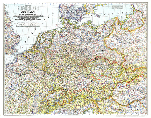
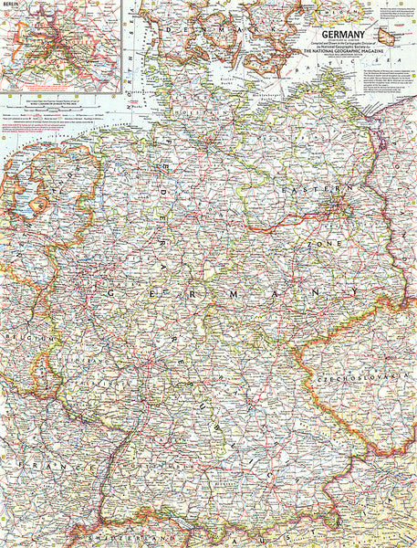
North-western part of Germany on road map at 1:500,000 from Freytag & Berndt, with an index booklet attached to the map cover also providing city centre street plans of Aachen, Bremen, Cologne, Dortmund, Frankfurt, Karlsruhe and Stuttgart. Coverage extends east to Hamburg, Hanover and Würzburg, north to the Elbe estuary, and south beyond Stuttgart. The map also provides coverage of almost all of the Netherlands, Belgium east of Ghent, and north-eastern France between Rheims and Strasbourg.
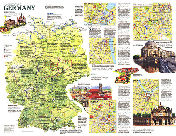
Road network includes many small local roads, most shown with driving distances. Scenic routes are highlighted. Railway lines are included. Topography is indicated by light relief shading with plenty of names of mountain ranges, regional parks, etc. Latitude and longitude lines are drawn at 30’ intervals. Map legend includes English.
The index is in a separate booklet attached to the map covers, which also includes street plans of central Aachen, Bremen, Cologne, Dortmund, Frankfurt,
- Product Number: FB_D_W_15
- Reference Product Number: 2191860M
- ISBN: 9783707915822
- Date of Publication: 6/1/2015
- Folded Size: 10.24 inches high by 5.12 inches wide
- Unfolded (flat) Size: 49.21 inches high by 37.01 inches wide
- Map format: Folded
- Map type: Trade Maps - Travel
- Geographical region: Germany