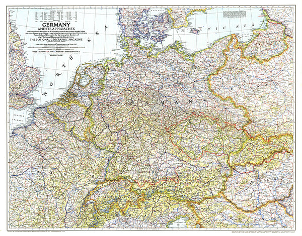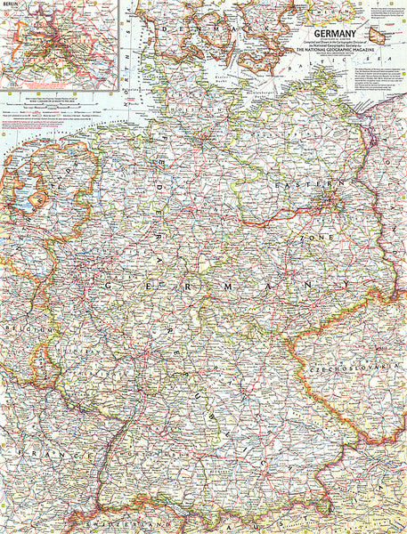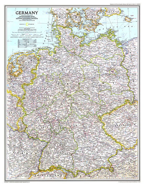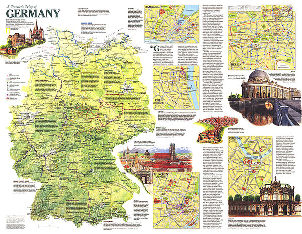
Germany, motorway map 1:500,000
Detailed road map of the Germany motorway network, with inset maps showing motorway approaches and connections for 13 cities. Clearly shows the national motorway and major road network, with some smaller roads shown. Road numbers, motorway on/off ramps and junction connections are shown. Intermediate driving distances are given along motorways in kilometres.
This map’s greatest strength is the very high level of motoring detail given, including accident hotspots, congestion hotspots, and recommended alternate routes around congested areas. Motorway rerouting is also shown. Service stations, rest area and parking and truck stops are shown, with a wealth of symbols indicating services available - including fuel, food, accommodation, wheelchair-accessible restrooms, showers, cashpoints, baby-changing facilities and even internet access.
Mainline and subsidiary railway lines are shown, and stations with park-and-ride facilities or motorrail are marked. Airports and ports ar
- Product Number: FB_D_AUTO_18
- Reference Product Number: - None -
- ISBN: 9783707909517
- Date of Publication: 3/20/2018
- Folded Size: 10.02 inches high by 5.11 inches wide
- Unfolded (flat) Size: 10.02 inches high by 5.11 inches wide
- Map format: Folded
- Map type: Trade Maps - Road
- Geographical region: Germany