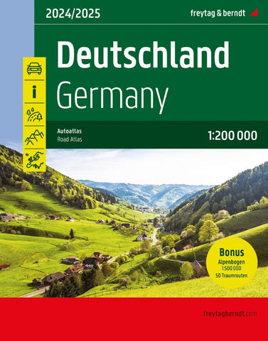
Germany, road atlas 1:200,000
Supertouring Atlas of Germany from Freytag & Berndt in a handy A5, spiral-bound format, with an extensive index plus 51 indexed street plans covering central districts of the country’s main cities.
Cartography is a simplified version of the publisher’s regional series at 1:200,000, with main roads in bold colours and smaller local roads clearly drawn. Road network shows motorway junction numbers and various services, toll routes, intermediate distances on most roads, gradients, seasonal closures, caravan restrictions, etc. Scenic routes and places of particular interest are highlighted and other tourist information includes national land regional parks, campsites, spas, viewpoints, etc. The maps have no geographical coordinates. Map legend includes English. Extensive index lists all localities with their postcodes.
The atlas also includes indexed street plans of central districts in Germany’s 51 main cities.
- Product Number: FB_D_AT_24
- Reference Product Number: - None -
- ISBN: 9783707922080
- Date of Publication: 4/30/2023
- Folded Size: 11.67 inches high by 9.04 inches wide
- Unfolded (flat) Size: 11.67 inches high by 9.04 inches wide
- Map format: - None -
- Map type: Atlases - Popular/Travel
- Geographical region: Germany