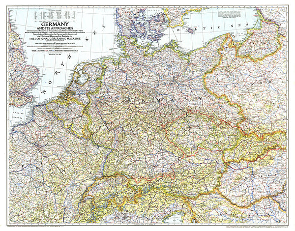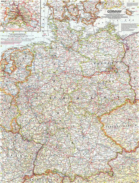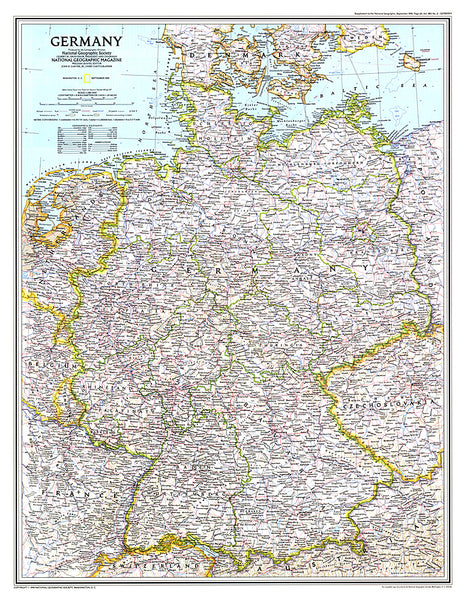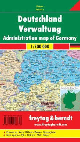
Deutschland Verwaltung = Germany administration
An administrative wall map of Germany from Freytag & Berndt, 96 x 128cm (3ft 2 x 4ft 2 approx), showing the country at 1:700,000 with each state in a different colour. Within the states the map shows internal divisions into regions (Regierungsbezirke) and districts (Kreise) with names of the regions. Towns also indicate their administrative status. The base map shows the country’s road and rail networks.
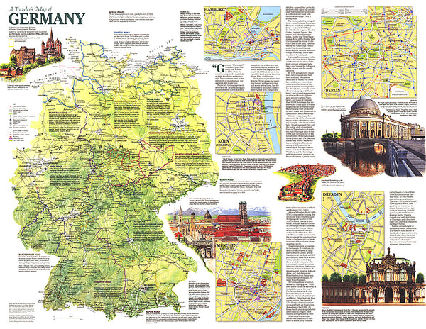
The map comes with a separate index booklet listing all locations with their postcodes. The booklet also includes street plans of central Berlin, Bremen, Cologne, Dresden, Düsseldorf, Erfurt, Frankfurt, Hamburg, Hannover, Kiel, Leipzig, Magdeburg, Mainz, Munich, Potsdam, Saarbrücken, Schwerin, Stuttgart and Wiesbaden.
- Product Number: FB_D_AD_WA_10
- Reference Product Number: - None -
- ISBN: 9783707908848
- Date of Publication: 11/29/2010
- Unfolded (flat) Size: 50.3 inches high by 37.73 inches wide
- Map format: Wall
- Map type: Trade Maps - Political
- Geographical region: Germany