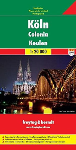
Köln = Colonia = Keulen
Indexed street map of Cologne at 1:20,000 from Freytag & Berndt with an enlargement of central Cologne at 1:10,000. Mapping is bright, colourful and clear, with one-way streets shown, as well as the U-bahn, bus and tram networks with stops clearly indicated.
Points of interest such as Cologne cathedral, the Romano-Germanic museum, theatres and parks are marked, as are local facilities. The enlargement of the central Cologne shares the same mapping but with more clarity, and is indexed along with the main map on the reverse.
A diagram of Colognes KVB Network (U-bahn, bus and tram) included. Map legend includes English.
- Product Number: FB_COLOGNE_9
- Reference Product Number: 2130003M
- ISBN: 9783707912203
- Date of Publication: 6/1/2009
- Folded Size: 10.24 inches high by 5.12 inches wide
- Unfolded (flat) Size: 47.24 inches high by 38.58 inches wide
- Map format: Folded
- Map type: Trade Maps - City Maps
- Geographical region: Germany