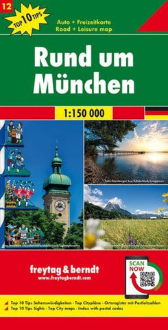
Greater Munich, road map 1:150,000, top 10 tips, sheet 12
The environs of Munich and the central part of the German Alps at 1:150,000 on a detailed, index road map from Freytag & Berndt with the region’s 10 best sights including Neuschwanstein. Coverage extends north to include Augsburg and in the Alps from west of Füssen to beyond Chiemsee; plus on the Austrian side of the border to include Jenbach, Wörgl, Kufstein and Kitzbühel.
Now with digital booklet and index - all information quickly and conveniently on your mobile phone!
Topography is presented by relief shading, with plenty of spot heights and names of peaks, passes, etc. Detailed classification of the road network includes small local roads, many shown with driving distances. Scenic roads and special tourist routes such as the Deutsche Alpenstraße are highlighted; the map indicates roads closed to motorized traffic, closed to or not recommended for caravans, and closed during the winter months. Also highlighted are numerous cycle routes, with gradient markings on
- Product Number: FB_12_MUN_VIC_15
- Reference Product Number: - None -
- ISBN: 9783707918120
- Date of Publication: 6/26/2015
- Folded Size: 10.02 inches high by 5.11 inches wide
- Unfolded (flat) Size: 48.75 inches high by 37.5 inches wide
- Map format: Folded
- Map type: Trade Maps - City Maps
- Geographical region: Germany