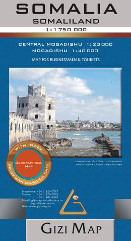
Somalia Geographical Map
The map shows its internationally recognized borders as well as its current (as of 2012) de facto division into Somaliland and Somalia, as well as the self-proclaimed autonomous states within Somalia: Puntland, Galmudug and Jubaland, plus the disputed region claimed by Somaliland but under Puntland administration. Also marked are internal administrative borders within these states/regions and names of the provinces. All place names are given in the Latin alphabet with alternative names or transliterations as appropriate. Topography is vividly presented with altitude coloring; graphics for swamps, salt flats and deserts; numerous names of mountain ranges and other geographical features; spot heights; water wells, etc. The road network includes country tracks and gives distances on main routes. Local airports and seaports are marked and a range of symbols indicate various places of interest, including locations with hotel accommodation, historical sites, etc. Coverage includes Djibouti a
- Product Number: GIZ_SOM_GEOG_17
- Reference Product Number: - None -
- ISBN: 9786155010101
- Date of Publication: 6/1/2017
- Folded Size: 9.45 inches high by 5.12 inches wide
- Unfolded (flat) Size: 33.86 inches high by 37.01 inches wide
- Map format: Folded
- Map type: Trade Maps - Physical
- Geographical region: Djibouti,Ethiopia,Somalia